JACKSONVILLE, Fla. — La Niña is expected to emerge this winter. What does that mean for winter weather on the First Coast?
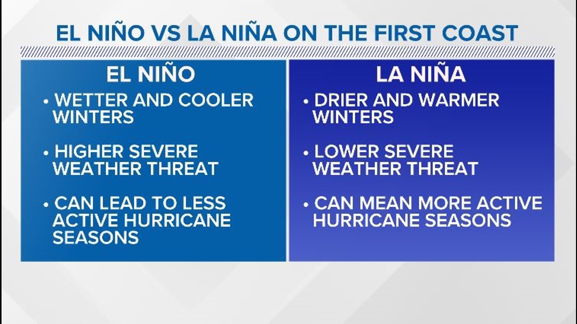
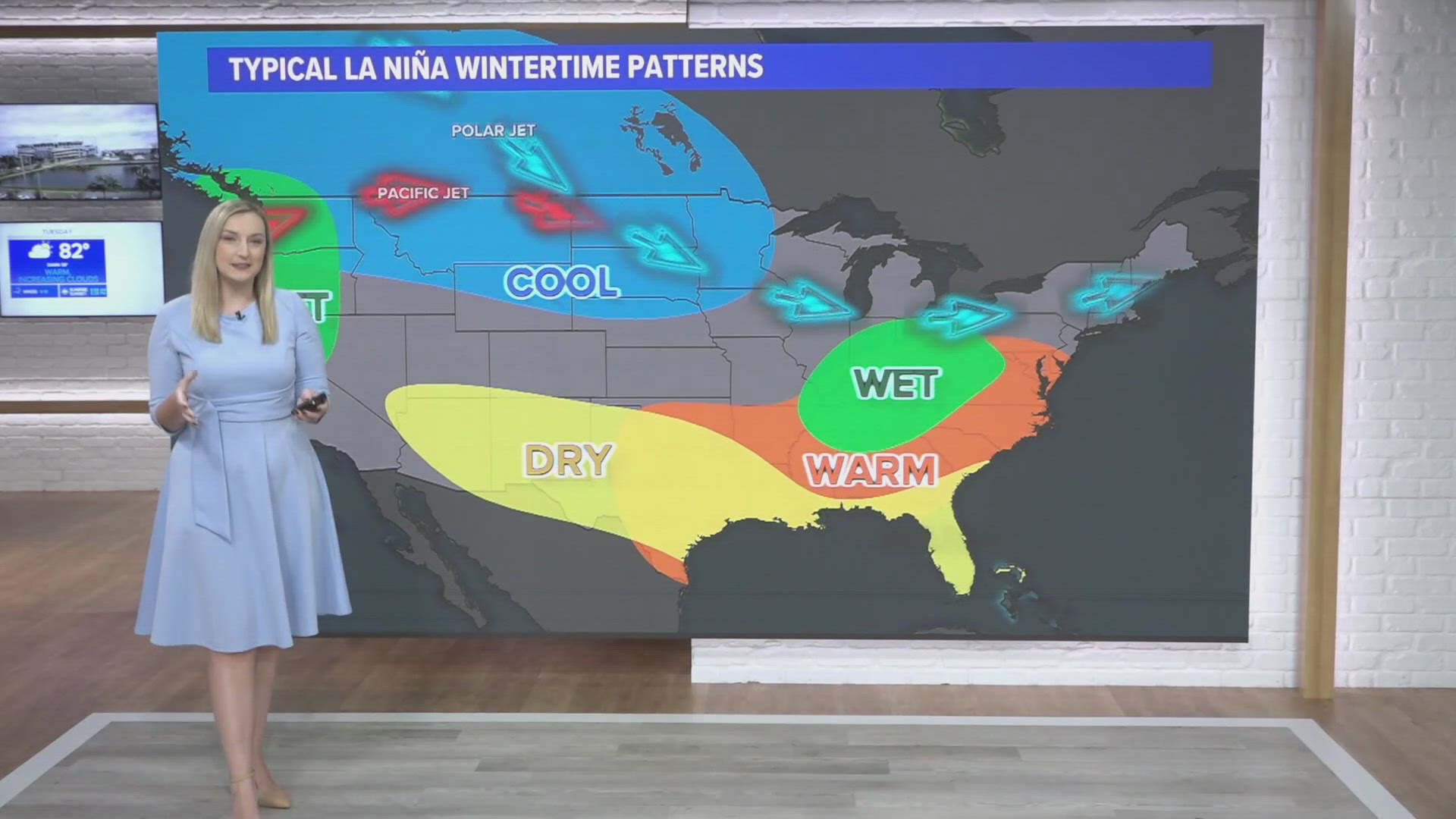
La Niña usually means warmer and drier winters for Florida and southeast Georgia.
While La Niña can cause a more active hurricane season, it also means winter severe weather is less likely. The jet stream is usually to our north during La Niña, bringing the likelihood of tornadoes farther to our north, too.
Does this means any hopes of snow are over? Most likely, yes. While the chance of snow is always very low here on the First Coast, it seems even more unlikely during La Niña winters.


The team consisting of the Climate Prediction Center, National Centers for Environmental Prediction and the National Weather Service calls for onset of La Niña, but it is likely to be weak and have a shorter duration. For now, the prediction is for it to persist through March 2025.
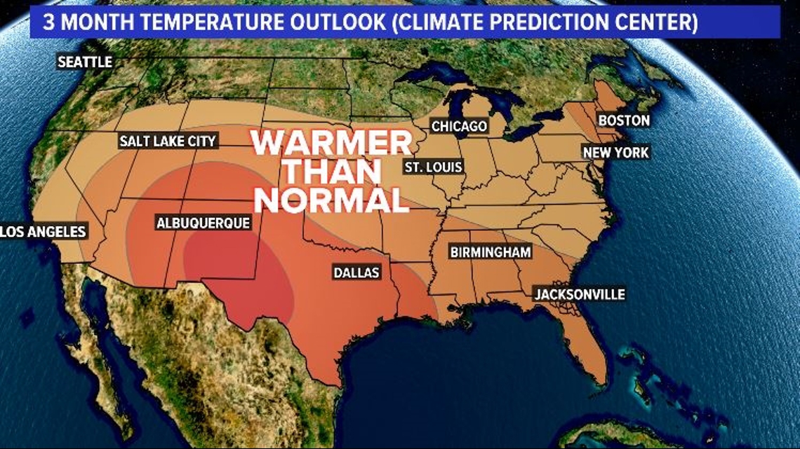
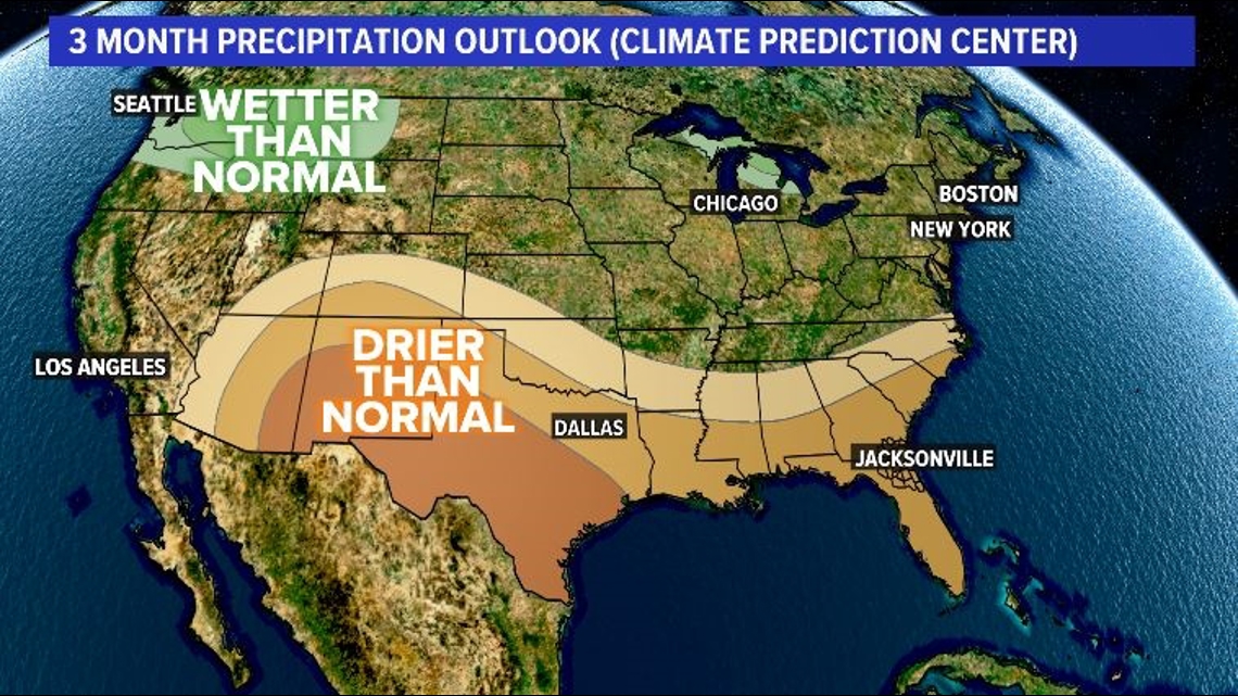
This lines up with the three month outlook from the Climate Prediction Center, which says drier and warmer weather is more likely for the First Coast.
This is a long-range temperature and precipitation prediction. For the current forecast, click here.


