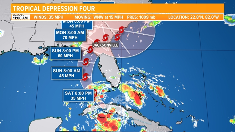
JACKSONVILLE, Fla. — Looking for the latest information on Potential Tropical Cyclone 4? Find it here.
The potential tropical system, Invest-97L, currently being monitored in the Atlantic will begin to move into an area more conducive for development over the next two to three days. What happens after that will determine the impact on Florida, and more specifically, the First Coast.
The strongest steering currents from the jet stream will be well to the north over the weekend. A trough digging in across the Great Lakes and Mid-Atlantic regions could push southward by early next week, potentially interacting with this tropical system.

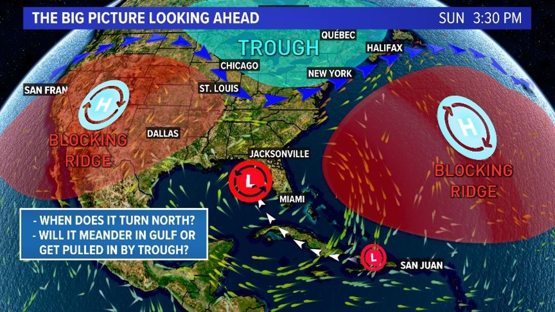
What's the biggest question with this system right now?
When does it turn north?
The quicker the tropical system turns northward, the less time it has to strengthen over incredibly warm ocean waters across the Gulf and the sooner it could potentially be picked up by the weak trough digging in from the north. This would mean a quicker and weaker impact to the First Coast.
If the system continues to drift farther westward before turning north, rapid intensification in the Gulf becomes more likely. At that point, the storm could make landfall in the northern Gulf or it could swing back toward the Big Bend of Florida. A lot of unknowns still remain with regard to any potential track or intensity of the upcoming storm. The forecast will be adjusted over the next several days as more weather data comes in.
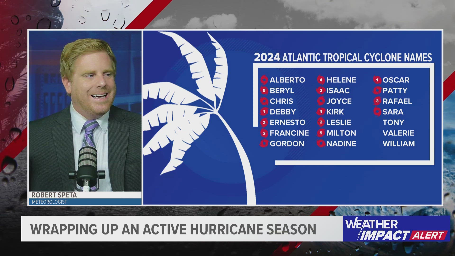
If the system becomes a tropical storm or stronger, it would be named Debby.
The National Hurricane Center issues updates at 2 a.m., 8 a.m., 2 p.m. and 8 p.m. every day, and we will provide any new information here, so check back in through the day.