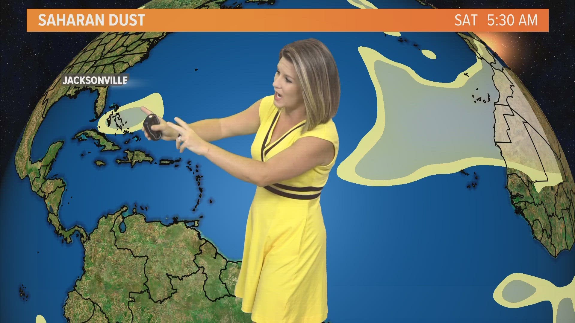
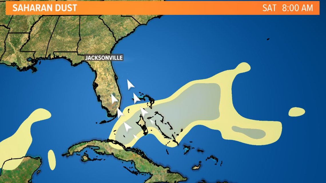
JACKSONVILLE, Fla. — Better late than never right? A fashionably late batch of Saharan dust is headed toward the Bahamas and Sunshine State this weekend.
This dry, dusty air can help produce more vivid sunrises and sunsets with more scattering of light particles in our atmosphere. South Floridians may notice an extra haziness in the sky as early as Saturday. The plume will continue to spread over Florida through Sunday and folks in Jacksonville may notice the same haziness by the end of the weekend. Keep your eyes peeled and get your cameras ready!
At the same time, another batch of Saharan dust -- a dry airmass made up of a bunch of tiny particles like sand, dirt, or dust that originates over the Saharan Desert in Africa -- will be moving off the west African coast. This time of year, these particles get lifted up every three to five days by African waves which push westward into the tropical Atlantic Ocean.


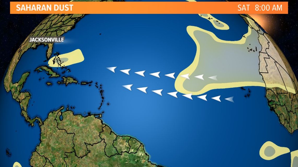
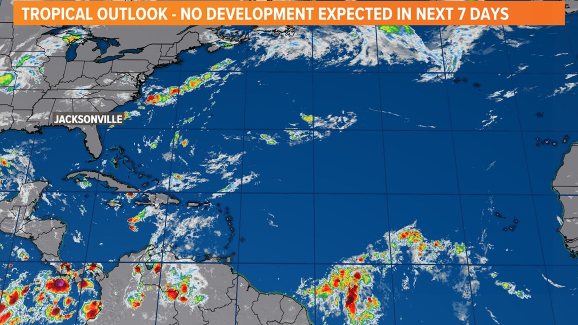
The Saharan Air Layer has been a bit lackluster so far this year with the first real noticeable plume not moving off the coast of Africa until just last week. The SAL -- also affectionately nicknamed "our pal SAL" by meteorologists -- is seen as an early hurricane season deterrent for its storm-busting potential.
Typically, the Saharan dust season kicks off in late spring and lasts through early fall. This also coincides with the Atlantic hurricane season starting off quieter in the months of June and July with activity ramping up by mid-August.
That wasn't the case this year with three named storms crossed off this list all in the month of June. However, with the return of the Saharan dust, as well as other factors like high amounts of wind shear, it does look like the stormy pattern over the tropical Atlantic is in a lull.

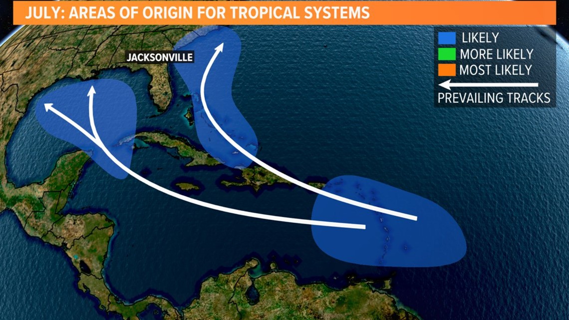
In the month of July, the areas in blue on the map below are known as our "hot spots." Meteorologists will watch farther out into the tropical Atlantic in the main development region as we head into August and September.