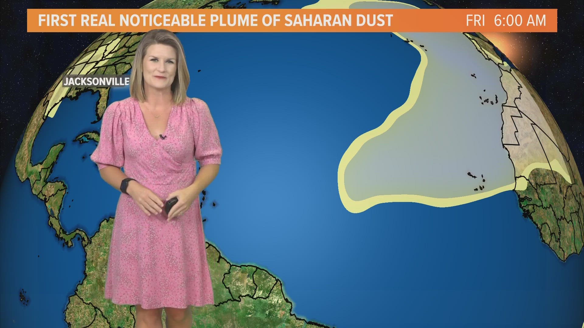
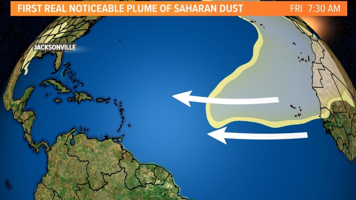
JACKSONVILLE, Fla. — It's Saharan dust season, but skies have been clearer across the Atlantic Ocean so far. That's changing with our first real noticeable plume of Saharan dust moving off the west coast of Africa and into the tropical Atlantic.
What does that mean for our hurricane season?
First, the Saharan Air Layer (also known as "SAL") is a dry airmass made up of a bunch of tiny particles like sand, dirt, or dust that originates over the Saharan Desert in Africa. From late spring to early fall, these particles get lifted up every three to five days by African waves which push westward into the tropical Atlantic Ocean.
The SAL -- also affectionately nicknamed "our pal SAL" by meteorologists -- is seen as an early hurricane season deterrent for its storm-busting potential. Since tropical storms and hurricanes thrive off tropical, soupy air, SAL creates an atmosphere that's the exact opposite with dry, dusty air that causes storms to struggle to develop.
Therefore, now that we're finally seeing some of this dust move over the tropical Atlantic it looks like conditions are heading into a quieter pattern to end June and kick off the month of July.

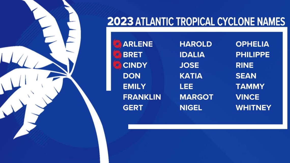
It's been a busier start to the Atlantic hurricane season with three names crossed off the list so far. Arlene, Bret, and Cindy all formed before the end of June. Typically, three named storms aren't recorded in the Atlantic basin until August 3. That is according to the 1991-2020 climate data.
The Atlantic hurricane season runs through November 30.

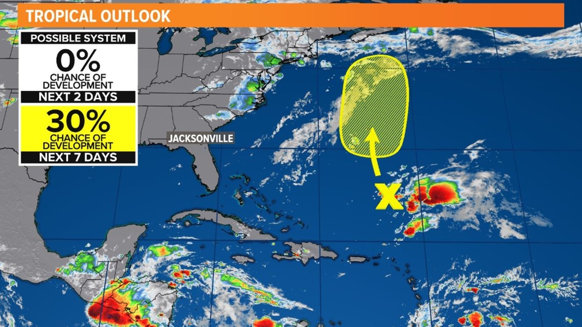
There are currently no threats to the First Coast, or the United States for that matter, but Canada will have to keep an eye on Cindy's remnants. They are churning as a batch of thunderstorms south of Bermuda with a low chance of development in the next 7 days.