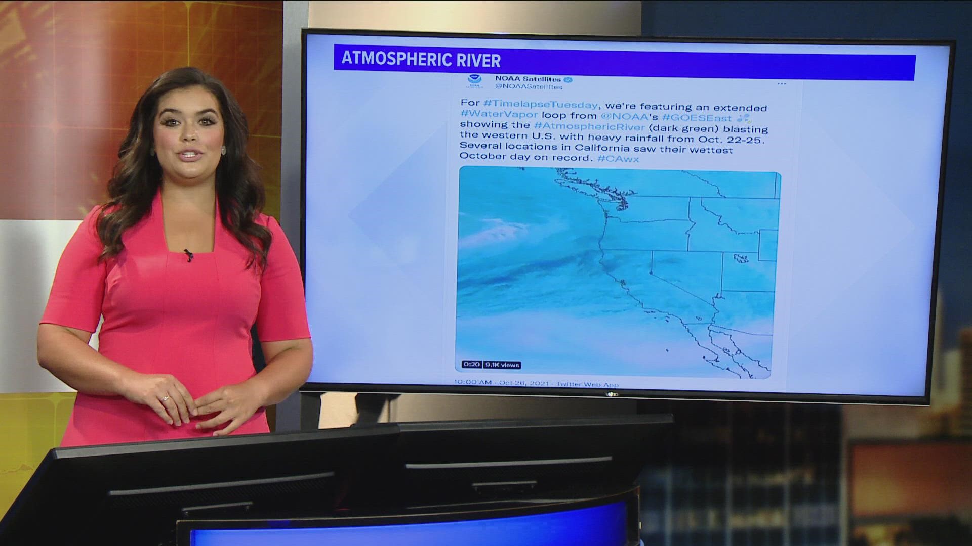
JACKSONVILLE, Fla — An atmospheric river is similar to the rivers we observe on land, except that it is in the sky. It is a band of moisture that flows in the atmosphere and oftentimes brings significant wet weather to the western portions of the United States.
Though they can be over 1,000 miles long, atmospheric rivers only stretch 250 to 375 miles wide. This water vapor can provide up to 50% of the annually accumulated precipitation for the western half of the United States in the way of both rain and snow. Atmospheric Rivers can have beneficial impacts from ending droughts to bolstering water supply. However, the inundation of wet weather can be dangerous, causing flooding, mudslides, and significant water-related damages.
You may have heard this atmospheric phenomenon by another name, the Pineapple Express. This nickname was earned because of the location that moisture usually originates from. These rivers will tap into the warm and moist air near the Polynesian islands, specifically Hawaii, and will transport it all the way to the western portions of North America. Hence the name, Pineapple Express.
The best way to spot an Atmospheric River is to use the Geostationary Operational Environmental Satellite 16 (GOES 16) to identify significant areas of water vapor. From there, meteorologists will keep a close eye on the movement of the water vapor and will provide necessary information on how to prepare.
Further research is being conducted on Atmospheric Rivers not only from satellites and radars but also from NOAA ships based in the Pacific.

