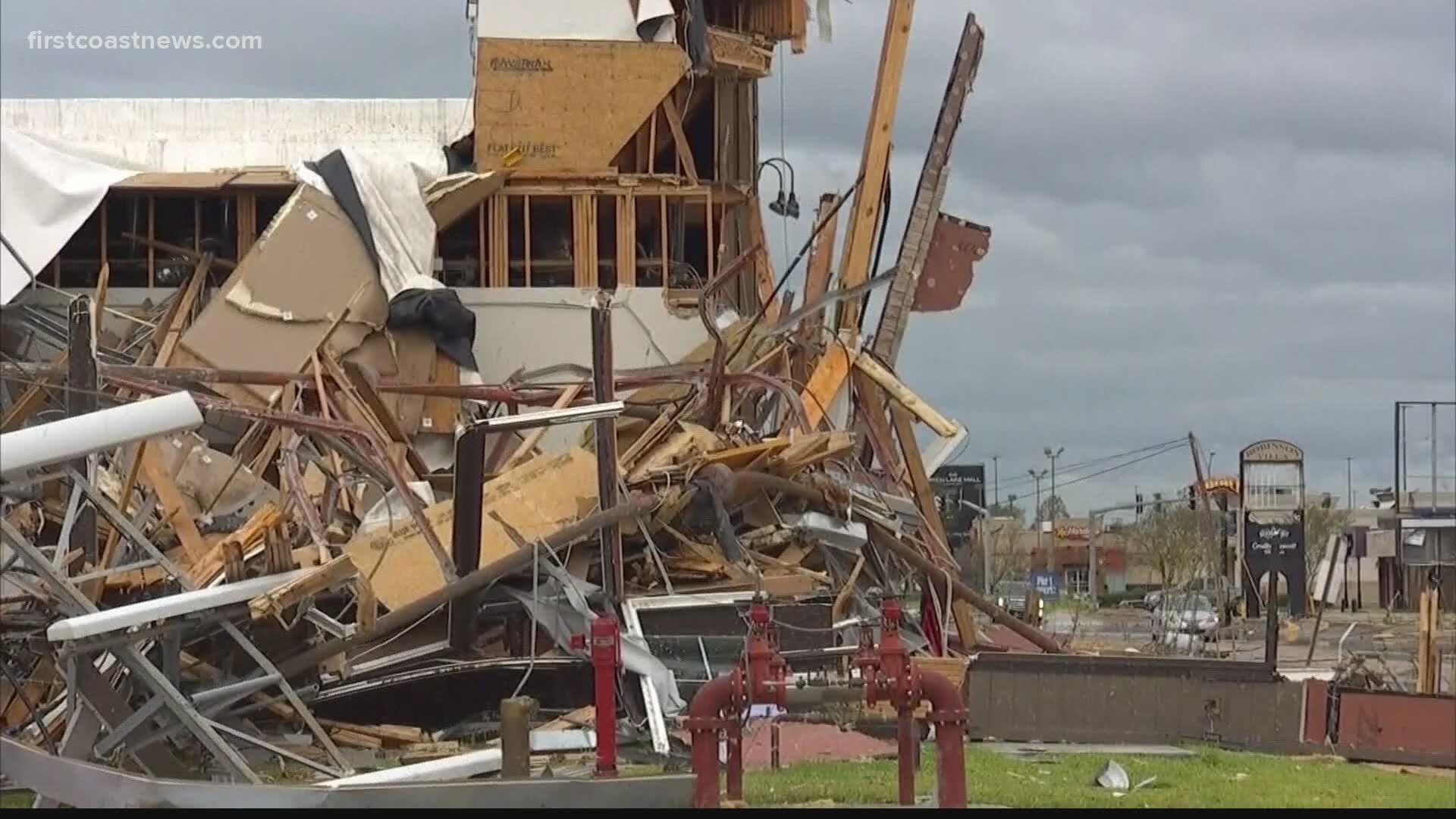
JACKSONVILLE, Fla — Devastating impacts from Hurricane Laura can be felt throughout Louisiana and Texas.
Areas like Lake Charles and Cameron, LA where the storm made landfall experienced strong storm surge and high wind gusts.
“When you see a storm increase its wind speeds from a tropical storm to a Cat 4 in a 24-hour period, what we call rapid intensification," said First Coast News Meteorologist Mike Prangley. "That’s 65 miles per hour winds higher, that’s when we get our biggest storms and ones that re-write the record books."
"This rapid intensification is happening more often here in the Gulf of Mexico and the Atlantic basin because of those unusually warm waters,” Prangley added.
He says the storm went over 87- to 88-degree water in the Gulf of Mexico.
“It went in as a Cat 4 with wind speeds officially of 150 miles per hour,” Prangley said.
Prangley says wind gusts recorded in Lake Charles were much higher.
Rapid intensification leaves Laura at No. 2 on the list of most intense hurricanes to hit Louisiana. It was more intense than Hurricane Katrina at landfall.
In neighboring Texas, the state is no stranger to strong hurricanes with devastating impacts. Hurricane Harvey brought torrential rainfall in 2017, and Hurricane Laura was a reminder of Hurricane Rita to residents like Brandy Robertson.
“Your home is your home, but you need to protect your life,” Robertson said.
Laura is a sad reminder that hurricane season is also far from over, she said.

