JACKSONVILLE, Fla. — Monday afternoon the National Weather Service confirmed two separate tornadoes touched down early Sunday evening in southwest Duval County.
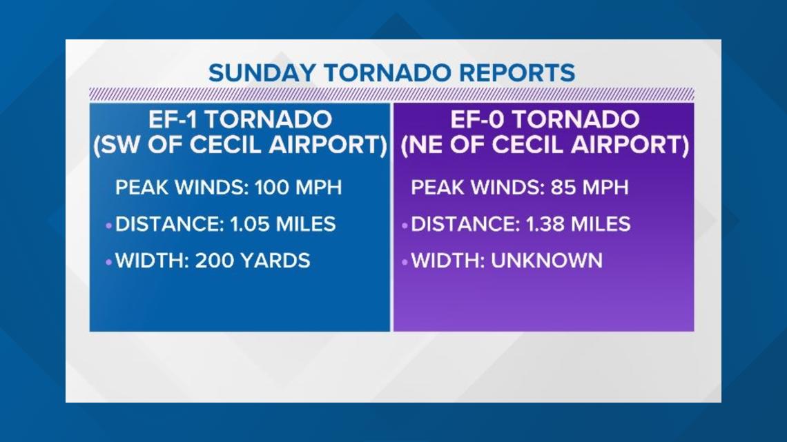
At 4:11 p.m. Sunday afternoon, an EF-1 tornado touched down to the southwest of Cecil Airport near Sal Taylor Creek.
The tornado had estimated peak winds of 100 mph as it moved north and lifted just east of Nathan Hale Road after moving just over a mile in the four minutes it was on the ground.


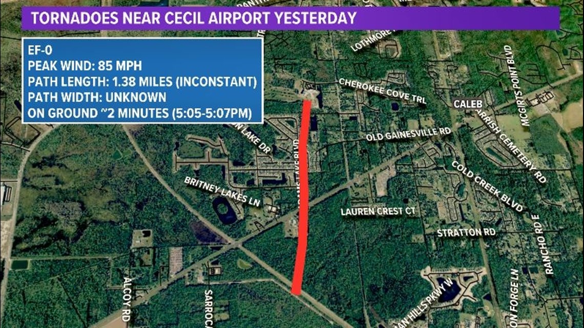
An hour later, a separate supercell thunderstorm produced an EF-0 tornado that touched down around 5:05 p.m. near the intersection of Normandy Boulevard and Cecil Commerce Center Parkway with an estimated peak wind of 85 mph.
This tornado's path was not continuous and only produced minor damage to fences and trees before lifting off the ground around 5:07 p.m. just before Chaffee Trail Elementary School.


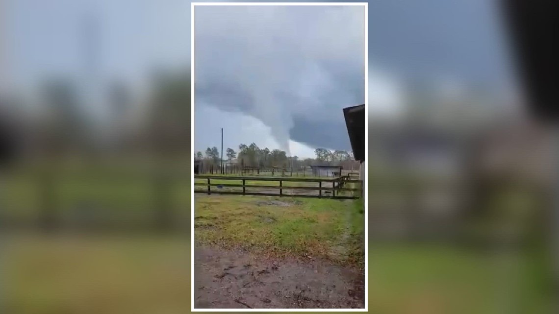
Viewer captures EF-1 tornado
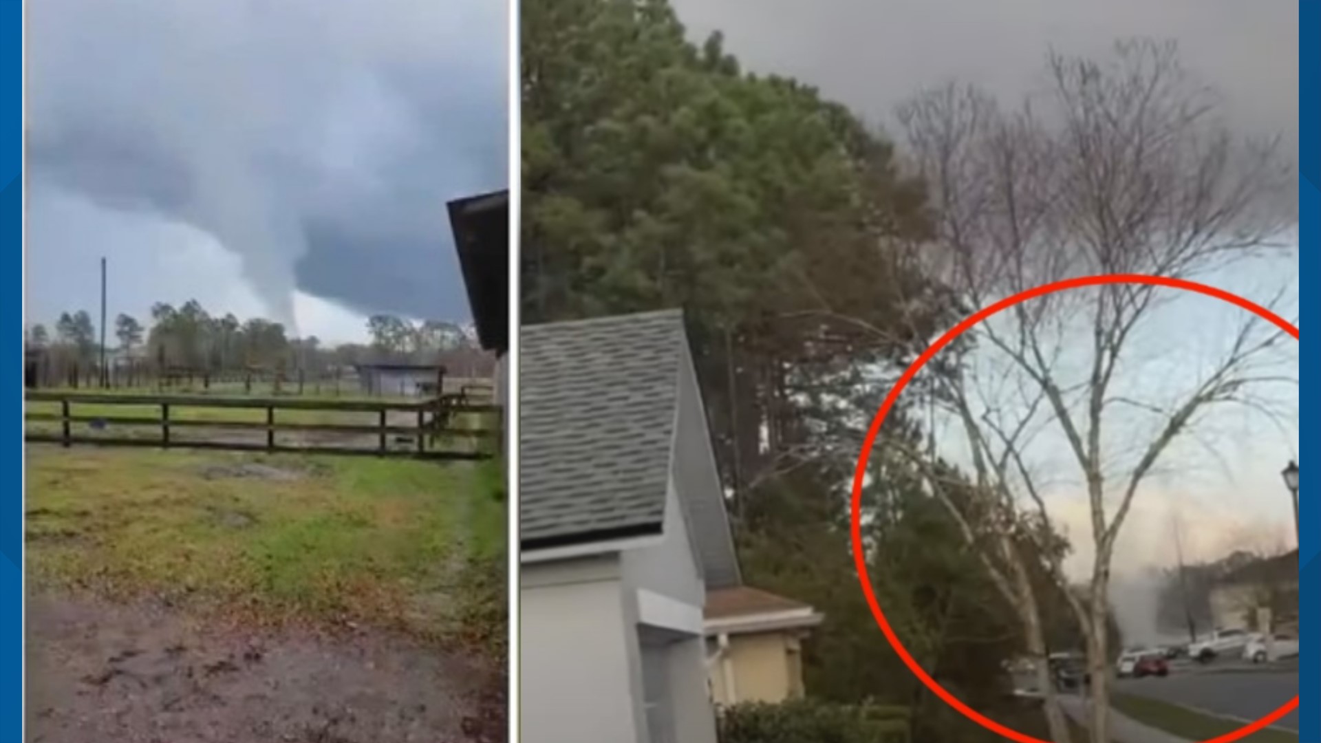
A First Coast News viewer shared a video of the tornado located southwest of Cecil Airport near Sal Taylor Creek.
The video was taken at Diamond D Ranch, which is less than three miles away from where the tornado was confirmed on the ground Sunday evening.


Viewer captures EF-0 tornado
Another viewer shared a video taken on Brian Lakes Drive North showing a funnel cloud forming near Brian Lakes Drive E. and Justin Oaks Drive N. Toward the end of the video, a small circulating cloud is seen crossing the Westside road.
According to the track provided by NWS, the EF-0 tornado was on the ground for 1.38 miles and crossed over the roads where the video was recorded.
The viewer told First Coast News the tornado knocked down a tree and damaged fencing in the area.


