FLORIDA, USA — The last few weeks we have not only seen extreme weather in Florida but across the world.
HERE: for the latest forecast on the First Coast.
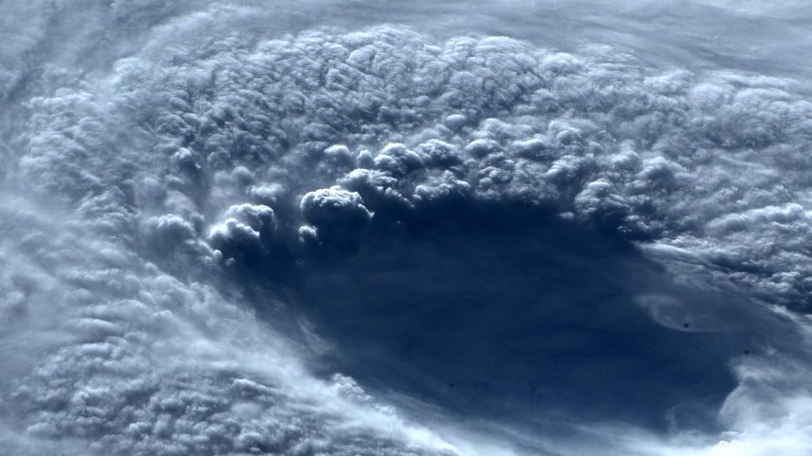
Starting on September 17th Super Typhoon Nanmadol peaked as a Category 5 storm off of southern Japan becoming the strongest storm anywhere on the planet in 2022. Winds in that storm peaked at 155mph sustained. It ended up moving across south western Japan bringing devastating flooding to the island of Kyushu.


At the same time Typhoon Merbok developed into a powerful extra-tropical storm off of Alaska bringing record breaking conditions across the Aluetians and South Western Alaska. Nome reported it’s highest tides in a half a century as the storm created a storm surge in the remote town.
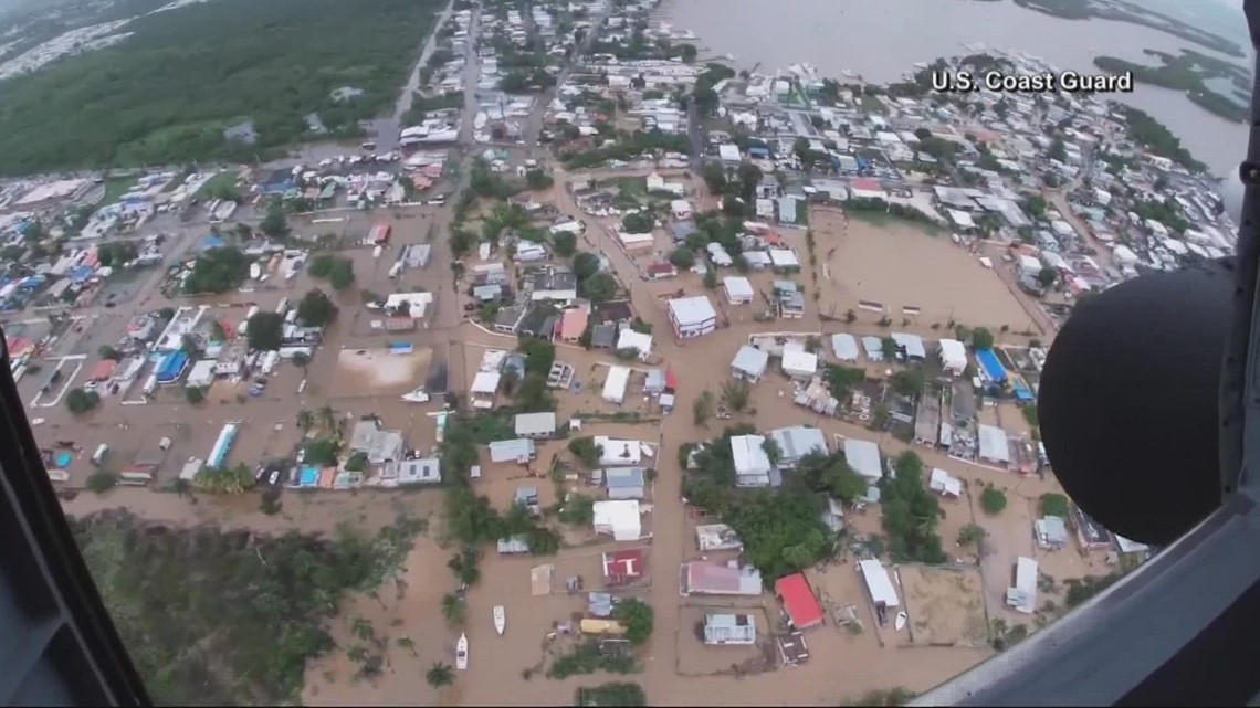
Meanwhile in Atlantic on September 19th Hurricane Fiona was knocking out power for the entire island of Puerto Rico before turning north and intensifying into a Major hurricane. The storm brought wide spread floods to Puerto Rico with one rain gauge near Ponce reporting over 31 inches from the storm. Fiona passed by Bermuda as a Major Hurricane and then made landfall in the Canadian Maritimes as a powerful Extra-tropical storm with hurricane strength winds on September 24th.


As Fiona hit Canada a storm in the western pacific called Super Typhoon Noru rapidly intensified from a Tropical Storm to a Super Typhoon with Category 5 winds in less than 36hrs as it neared landfall in the Philippines. The storm tracked over the island of Luzon and moved west towards Vietnam where it re-intensified back in to a Category 4 storm system for a second time prior to landfall on September 27th.


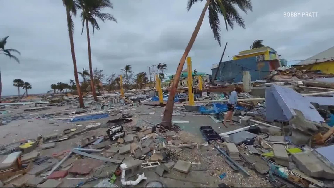
Also on September 27th in the Atlantic Hurricane Ian rapidly gained strength south of Cuba where it made landfall knocking out power for most of the country and then moved north where it strengthened to a Category 4 storm where it made landfall tied for the 5th strongest storm on record to hit the continental United States on September 28th. Then impacted the First coast before making another landfall in South Carolina.
As Ian as faded out another Hurricane, Orlene made landfall in South West Mexico on October 3rd after weakening from a peak Category 4 storm system offshore.
With our oceans warming storms are not only becoming more frequent, but also more powerful and have the capability to rapidly intensify as we have seen over just the last two weeks.
Hurricane season isn’t over yet either and we of course will keep you posted here on First Coast News. CHECK HERE FOR THE LATEST TROPICAL UPDATE


