
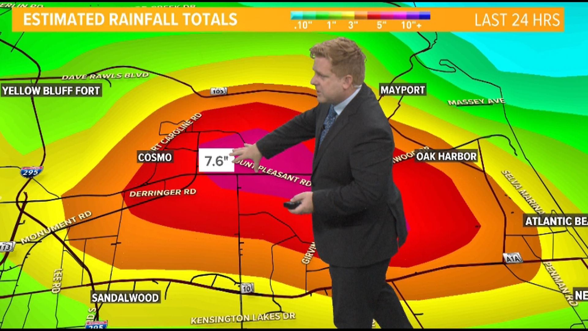
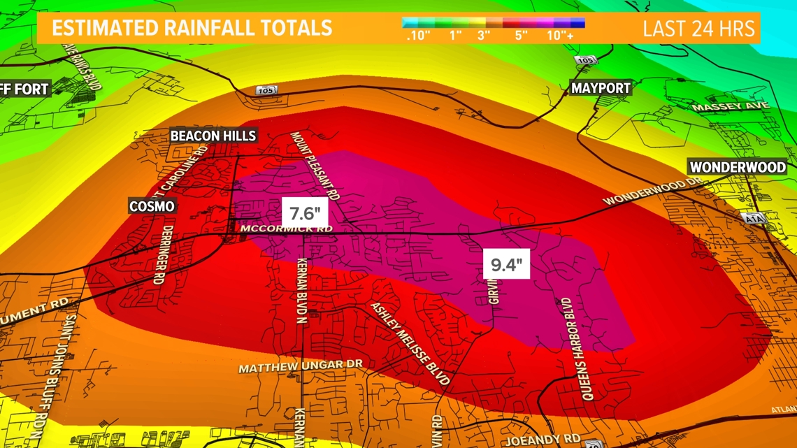
JACKSONVILLE, Fla. — Overnight from Friday into Saturday morning, parts of Jacksonville experienced significant rainfall due to what is referred to as "training." In this scenario, multiple storms move over the same area consecutively, much like a line of train cars or cars on a highway.
While each storm individually might not produce a lot of precipitation, the accumulation from several storms passing over the same region can lead to substantial rainfall totals.
This is precisely what happened along the St. Johns River and across parts of East Arlington, where rainfall reached between five to nearly 10 inches.
The continuous downpour over the same area created a concentrated zone of heavy precipitation, much like a bullseye on a weather map, and thus multiple flash flood warnings were issued for the area overnight.

When we refer to a "training event," we're talking about this pattern of storms following one another like subway cars, trains, or vehicles on a highway, hitting the same spot repeatedly.
A rather famous example of training was in 2017 Hurricane Harvey. While Harvey itself was a hurricane, it stalled over Southeastern Texas, particularly around Houston, and produced training bands of heavy rain for several days in August 2017.
This led to unprecedented flooding, with some areas receiving over 60 inches of rain. The storm caused extensive damage, displacing thousands of residents and leading to at least 68 direct deaths.