JACKSONVILLE, Fla. — A new hurricane track forecast cone will be used this hurricane season.
The purpose is to help people understand that impacts happen well outside of the cone's track. The cone is only used to show where the center of the storm could go.
“As time marched on, the cone continued to shrink as accuracy got better, which means the hazards spilled more and more outside of the cone,” explained Jamie Rhome, Deputy Director Of The National Hurricane Center.
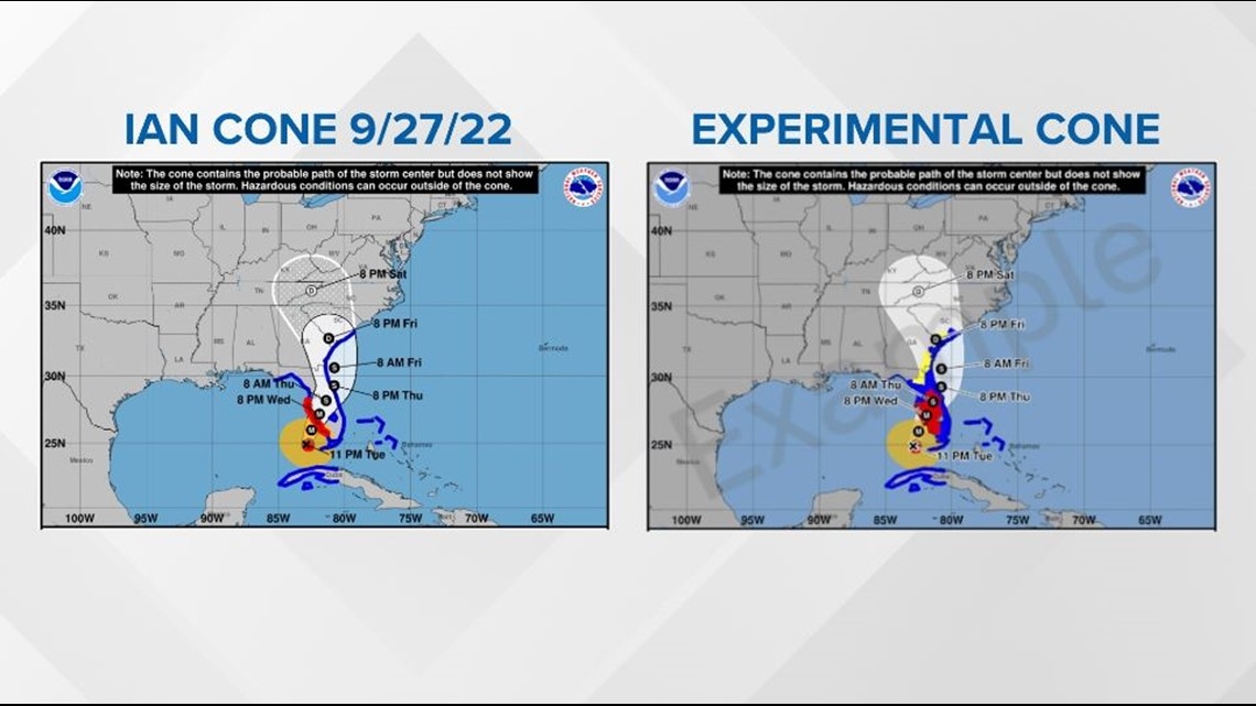
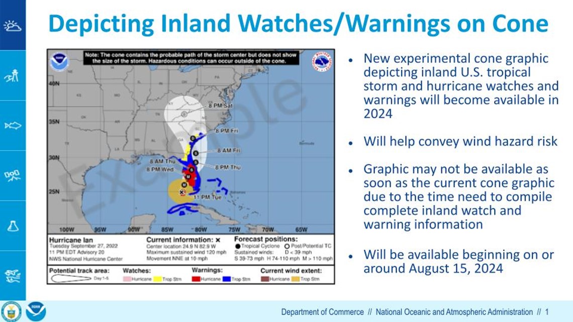
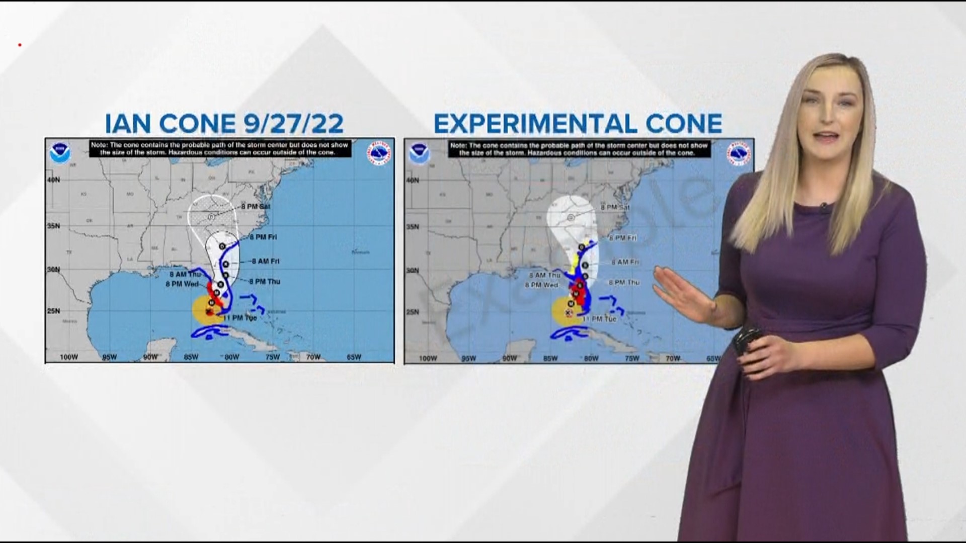
Below is a side-by-side comparison of the old cone versus the new one using Hurricane Ian as an example. There are two changes. One, the cone has been smoothed out to have consistent shading. But, perhaps more importantly, the tropical storm and hurricane watches and warnings extend inland. You can see how the interior peninsula is under a tropical storm watch. This helps convey the wind hazard risk of the entire storm outside the cone.


This is just the first step for an evolving hazard messaging system from the National Hurricane Center. They hope people will start to focus more on other hazards, such as storm surge and flooding rain, which can be the deadliest impacts.
“But if we threw all the hazards on here, you wouldn’t be able to discern anything," said Rhome. "It would just be really a mess. So we hope this experimentation starts a discussion on how to we begin to convey the totality of risk from a hurricane, which would include all hazards.”
They hope that by conveying risks outside the cone, it will prompt people to pay attention to other their other products, like storm surge flooding potential and the likelihood and arrival time of tropical storm force winds.
Rhome said “The cone is an old product, I mean it’s over 20 years old, so how do we shift people off these legacy products and onto the newer products that do a much better job of conveying the risk?”
Hurricane season begins June 1. The new cone will launch sometime around August 15, 2024.


