JACKSONVILLE, Fla. — On the evening of the August 21st 2022, a classic tornado signature was seen on radar. Thankfully no tornado was confirmed on the ground but thanks to modern radar there are many signs that would rotation or a funnel cloud.
First at 5:42 p.m., the National Weather Service in Jacksonville issued a Tornado warning over Fruit Cove, Florida. In the warning they noted it was radar indicated. So what exactly does that mean?
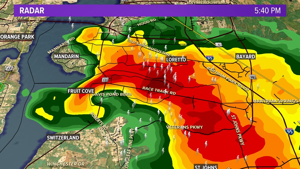
The image below shows what we call a hook echo. This forms when rain, hail and possibly debris wrap like a hook around an area in the lower portion of a storm. This at the very lease indicates a meso-cyclone and justifies a tornado warning in most cases.

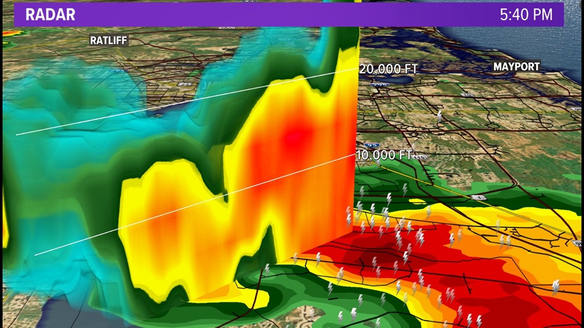
Yet to note further on Sunday’s tornado warning a weak echo region was also shown. This can be seen on a cross section of radar and shows where there is inflow and a strong updraft. Another sign that a storm could have a tornado.

Lastly to back up both of these doppler radar showing the direction of the winds within the storm indicated rotation with winds to and from the radar.

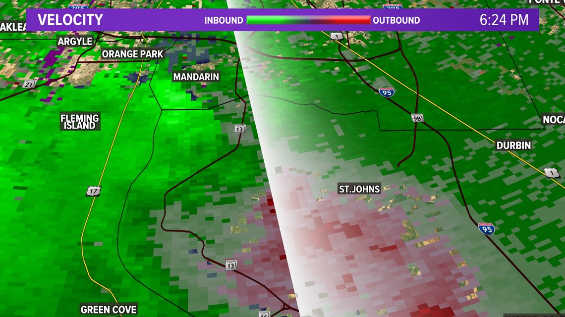
Thankfully no tornado was reported on the ground during this event but wind damage and hail was seen. Also indicators a strong storm. In short the best source of information on a tornado is people actually observing and reporting it. But these tools help fill in that gap when moment by moment up to date information is critical.


