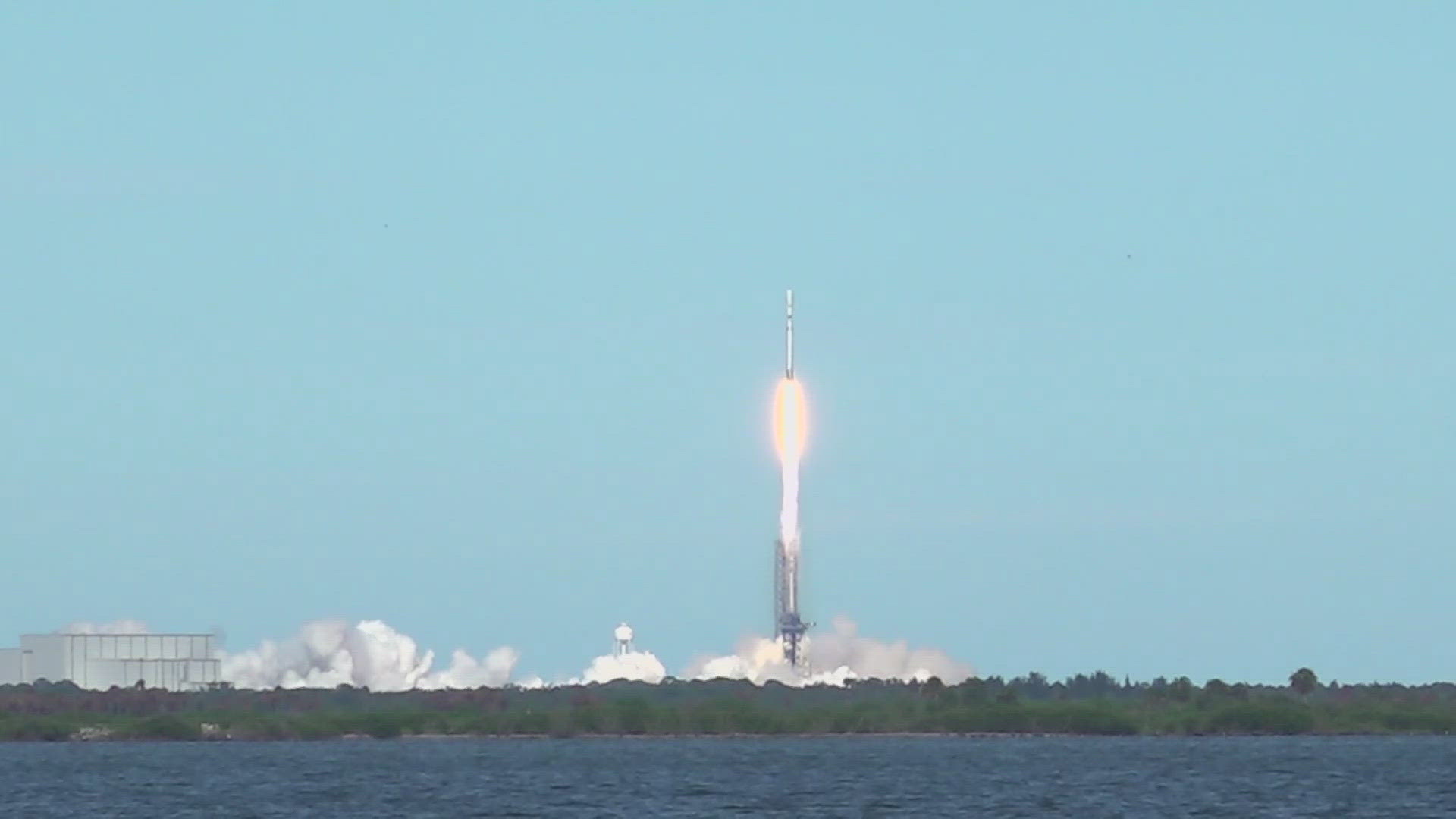
JACKSONVILLE, Fla. — The latest advancement in weather monitoring technology took off Tuesday with the launch of the GOES-U (Geostationary Operational Environmental Satellite) satellite.
Enthusiasts and experts have flocked to the nearby town of Titusville, eagerly anticipating the liftoff of this critical mission.
Among the spectators are individuals who have traveled great distances, including a visitor from just outside London, who made the journey specifically to witness Tuesday's launch.
To understand the significance of this event, First Coast News spoke with Jim Valenti, the NOAA GEO assistant director. According to Valenti, the GOES-U mission aims to provide uninterrupted 24/7 environmental monitoring of both the Earth's atmosphere and the solar environment, primarily focusing on the Americas and the Western Hemisphere, with particular emphasis on the United States.
When asked about the necessity of deploying a new weather satellite despite having existing ones in orbit, Valenti explained: "NOAA and NASA have partnered over the last 50 years to provide those weather satellites, but they're machines and they eventually fail and wear out. The GOES series ensures we have continuous coverage, allowing us to monitor severe storms like hurricanes, severe thunderstorms, and tornadoes in real-time."
The evolution of weather satellite technology is truly astounding. The first weather satellite, TIROS-1, launched in 1960, provided just two black-and-white images daily. In stark contrast, modern satellites like GOES-U can deliver updates every 30 seconds with high-resolution imagery, continuously monitoring the United States every 10 minutes.
To put this into perspective, the data generated by the GOES-R series and GOES-U in just six months surpasses the total data collected from the 1960s through 2016-2017.
To access the latest information on the GOES satellite and the local forecast visit here.

