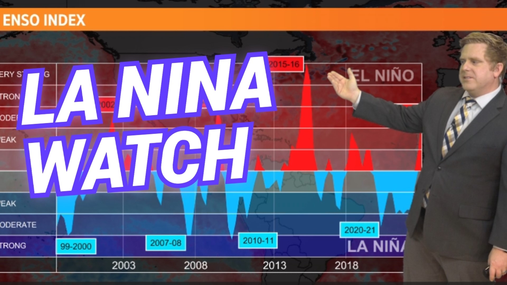
JACKSONVILLE, Fla. — The Climate Predication centered has issued a La Niña Watch.
Let’s talk about what that means and how it will impact the local weather on the First Coast. As of February 2024, a El Niño phase of the ENSO is in place, but based on the current forecast and atmospheric trends this is expected to change by the later half of 2024.
Understanding La Niña:
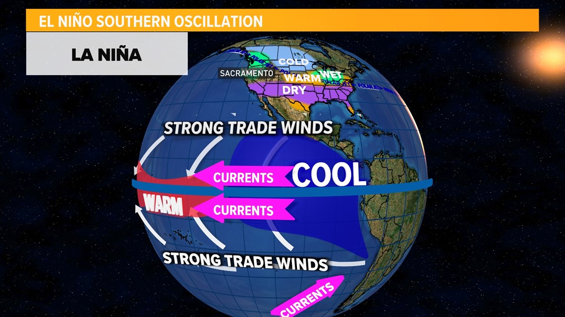
La Niña is the opposite phase of the El Niño-Southern Oscillation (ENSO) cycle, and it often heralds distinct weather patterns. In a La Niña event, the Eastern Pacific Ocean's cooler waters can trigger atmospheric changes globally.
Specifically ushering in enhanced trade winds in the Pacific Ocean which produces a domino effect of changing patterns across north America.


La Niña and the Weather on the First Coast
Warmer and Drier Conditions:
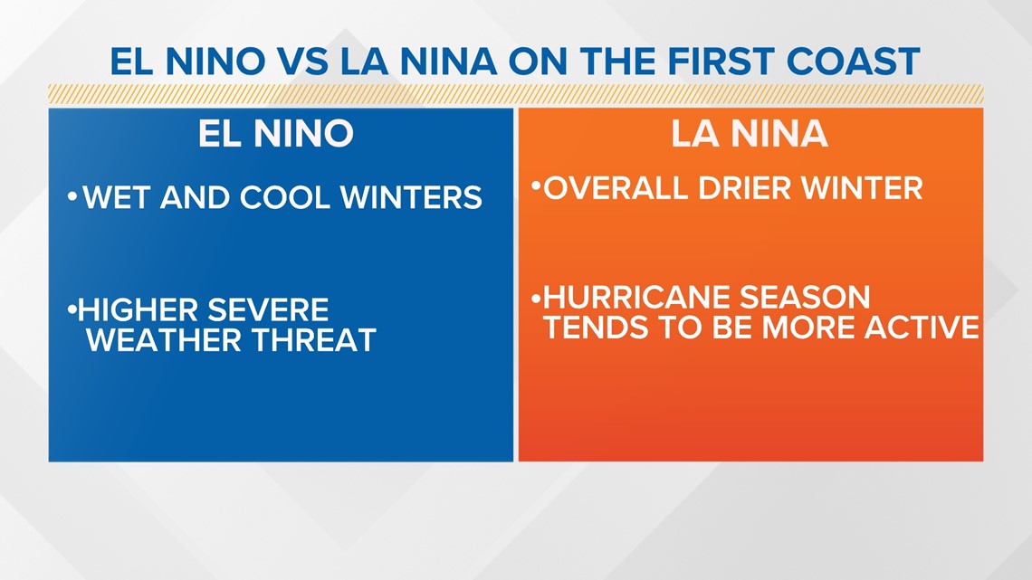
La Niña tends to contribute to warmer and drier conditions on the First Coast. With a weaker winter jet stream, and a westward shift of the Bermuda high the First Coast may experience milder temperatures and reduced precipitation. Compare this to an El Nino where we see above average rainfall.
Increased Hurricane Activity:
While La Niña is associated with warmer sea surface temperatures in the Atlantic, it can also lead to an uptick in hurricane activity. The decreased wind shear associated with La Niña often creates favorable conditions for the development and intensification of tropical storms and hurricanes.
Agricultural Impacts:
La Niña's influence on precipitation patterns can impact agriculture. The reduced rainfall may pose challenges for crops and affect water availability for irrigation.
This is why at First Coast News we always look at the short-term forecast but also the long term to help you prepare for our changing atmosphere.


