JACKSONVILLE, Fla. — Editor's note: This story was last updated Friday morning. For the latest on Sara, click here.
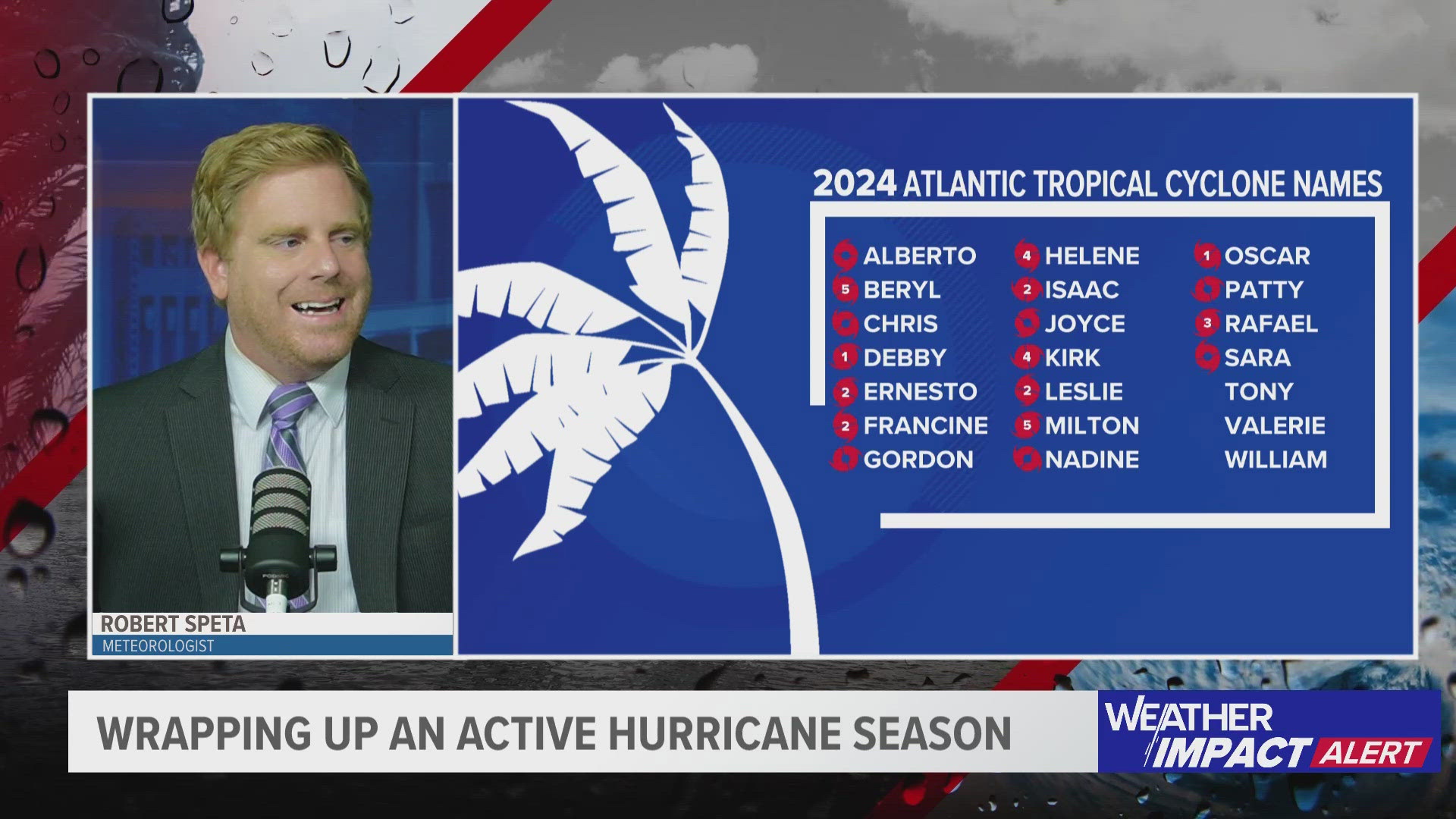
The state of Florida has been through it during the 2024 Atlantic Hurricane Season, seeing three hurricanes make landfall, with two being classified as major.
First, Hurricane Debby made landfall as a Category 1 storm on Aug. 5, then came Hurricane Helene on Sept. 26 as a Category 4, and just less than two week later, Hurricane Milton arrived as a Category 3.
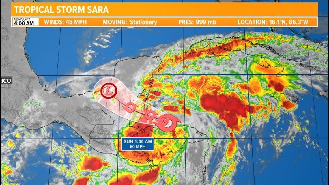
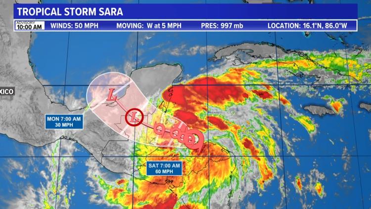
Now, all eyes are on Tropical Storm Sara, as it moves over Belize and into Mexico this weekend. From there, its future is very uncertain. Topography over Central America and Mexico will work to tear the storm apart and then it will interact with a front next week further weakening the storm. Still the energy will likely bring messy weather to Florida by mid-week.
Tropical Track


This is the latest forecast cone, which shows an area where the center of the storm could go, when and how strong it might be at the given time.
The longer Sara spends over land, the weaker and more unorganized it would get. It may not even survive the trip over land, which is why the current cone only goes out to Monday, and the southern Gulf of Mexico.
Interactive Radar
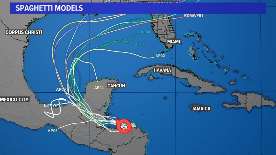
Spaghetti Models
Each line represents a computer model's best "guess" of where the center of the storm will go. Together, they resemble spaghetti.


