TAMPA, Fla. — Hurricanes are common in Florida. But Hurricane Milton? That's it's own breed.
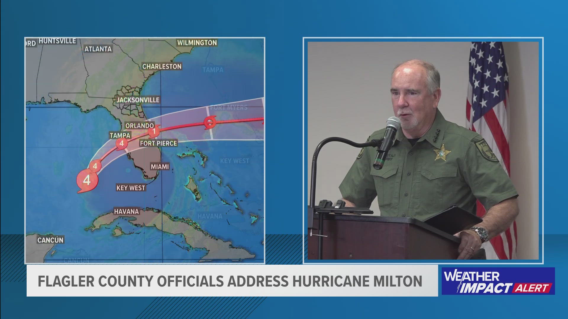
Milton started forming as a tropical storm on Saturday. Early Monday morning, it quickly strengthened, going from a Category 2 storm to a large Category 5 hurricane by noon. Now, it barrels toward the west coast of Florida as a Category 4.
Meteorologists say what makes the storm so unique is the way it's heading to the Sunshine State. Most hurricanes travel from east to west with the trade winds. This one is going from west to east.
Only a handful of hurricanes have done this in the past two centuries, weather data shows.

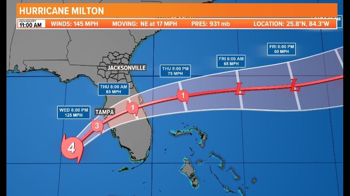
The reason meteorologists are predicting such a heavy impact to Florida is the storm's path. Hurricane Milton is the only hurricane expected to directly hit the Tampa Bay area in almost 100 years.
A meteorologist from CNN compares the rarity of Milton to a car crash. While driving, most accidents are side-swipes, just as most hurricanes swipe along Florida's coast.
Hurricane Milton would be comparable to a head-on collision all the way through Florida's peninsula.
To top it all off, the storm is not only rare, but powerful. The 10 Tampa Bay weather team says it will slice through the state "like a buzzsaw."
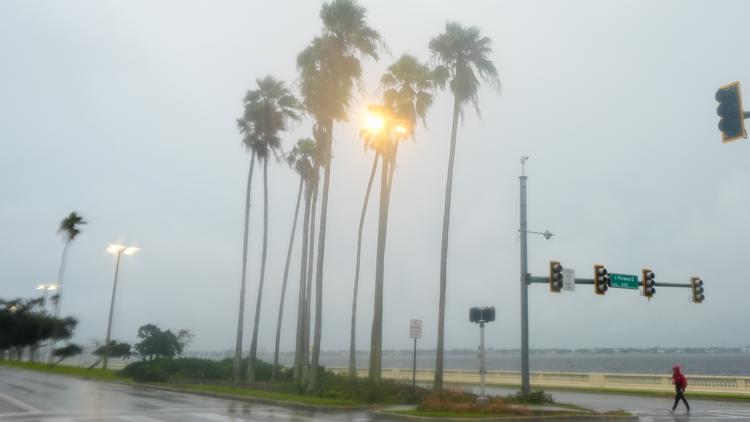
As Milton makes landfall late Wednesday into early Thursday, it's expected to ram into the coast as a Category 4 hurricane, with winds around 130 mph, isolated tornados and heavy rainfall that'll bring more flooding.
Keep up-to-date on all the latest weather information on 10 Tampa Bay here. If you are in need of shelter, we have an updated list of safe places to wait out the storm here.