x
Breaking News
More () »

Tropical Storm Helene forms in Caribbean; expected to hit Florida as major hurricane

Models currently project Helene to become a major hurricane by the time it makes landfall near Florida's Big Bend area.

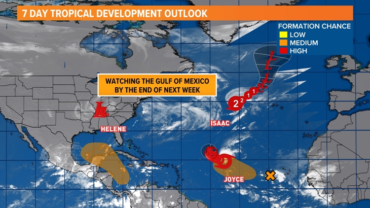
JACKSONVILLE, Fla. — Potential Tropical Cyclone Nine strengthened into Tropical Storm Helene Tuesday morning, the National Hurricane Center announced.

Helene is the eighth named storm of the 2024 Atlantic hurricane season. Models currently project it to become a major hurricane by the time it makes landfall near Florida's Panhandle and Big Bend area. 

As of Tuesday's 11 a.m. advisory, the storm formed just east of the Yucatan Peninsula. It has 45 mph sustained winds and is moving northwest around 12 mph. 

It is forecast to increase its forward speed and cross into the Gulf of Mexico Wednesday, becoming a hurricane Wednesday morning. The forecast track and cone from the National Hurricane Center remains fairly consistent, with a landfall occurring sometime Thursday evening as a major, Category 3 hurricane. 

Gov. Ron DeSantis announced an extension of the state of emergency Tuesday, warning of a "potentially very dangerous storm."

Both the intensity and directional forecasts have this storm becoming a hurricane by Wednesday. The First Coast News Most Accurate Weather Team issued a Weather Impact Alert Day for Thursday and into Friday. 

For radar, spaghetti models, forecast cone and more, click here.

As always, don't focus on the centerline track within the cone, keeping in mind the eyewall could cross anywhere within that cone. And remember, impacts from this can be felt more than 100 miles from the center, especially on the eastern side of this storm where tornados can spawn.

Tropical Storm Helene forms in the Caribbean, eyes Florida landfall as major hurricane

Before You Leave, Check This Out