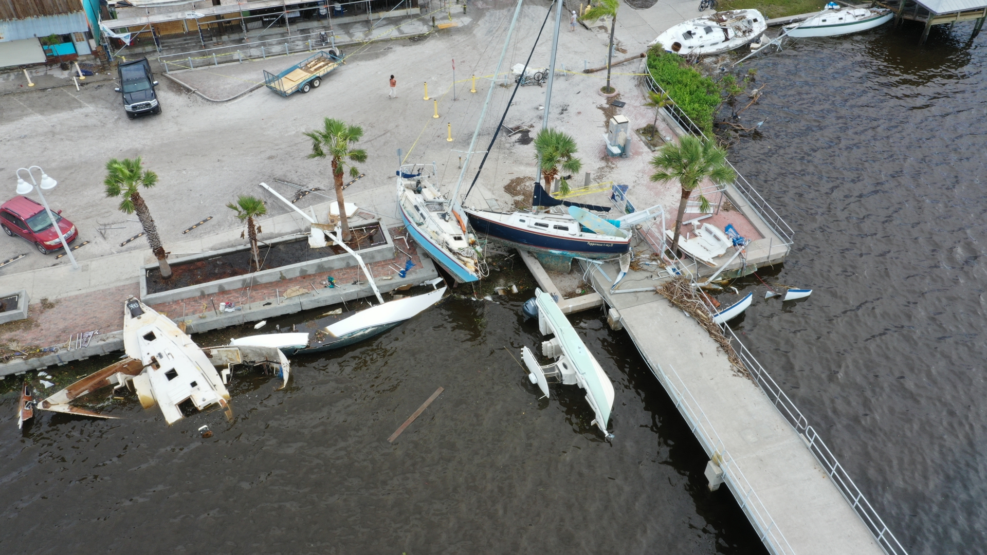
TAMPA, Fla. — Those wishing to get a closer look at the damage caused by Hurricane Helene can now use a tool by the National Oceanic and Atmospheric Administration (NOAA) to view aerial images of some of the hardest hit areas.
After a major weather event, NOAA aircraft fly over specific areas identified by the agency in coordination with FEMA as well as other state and federal partners.
The images are compiled into a mapping tool used to develop recovery strategies, aid in search and rescue efforts, identify hazards and provide documentation of damage assessment.
The public can also use the tool to get a big-picture view of the damage to houses and communities.
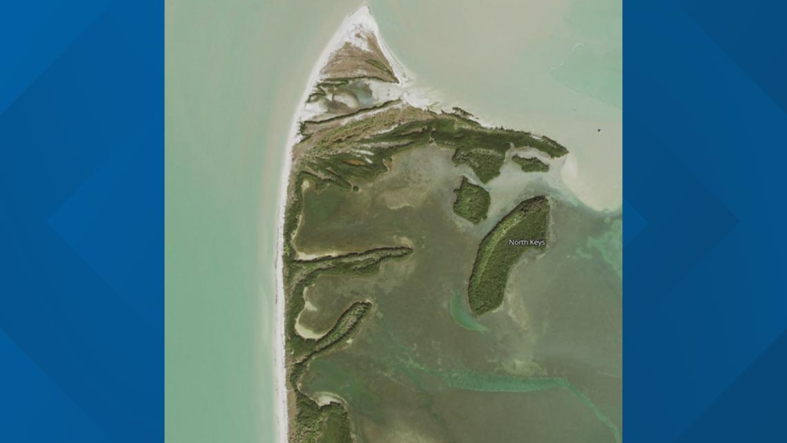
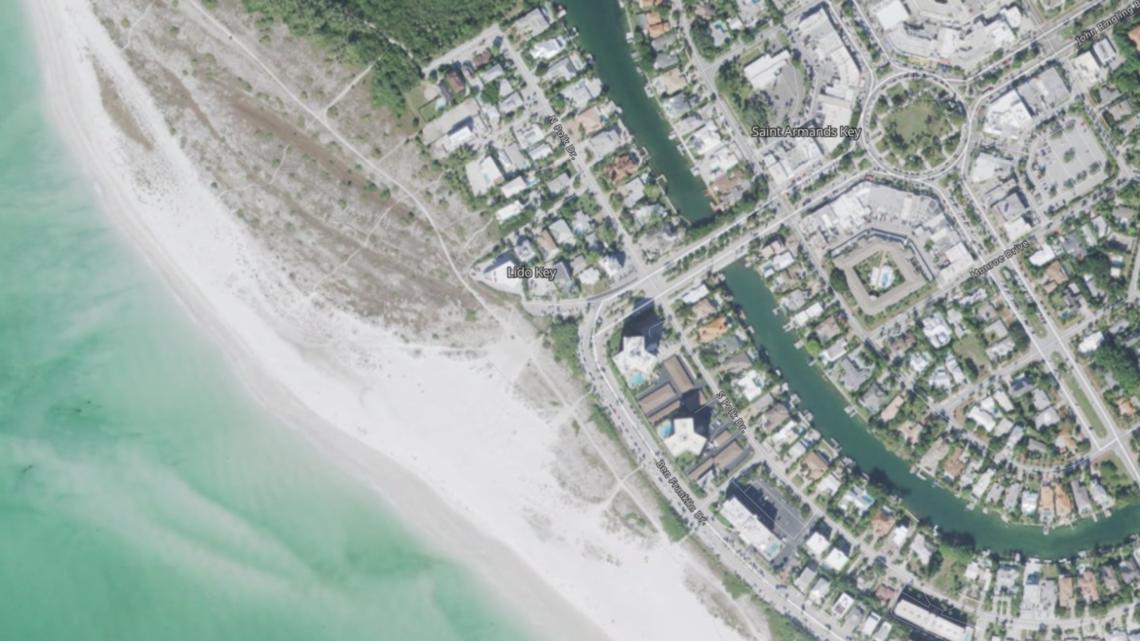
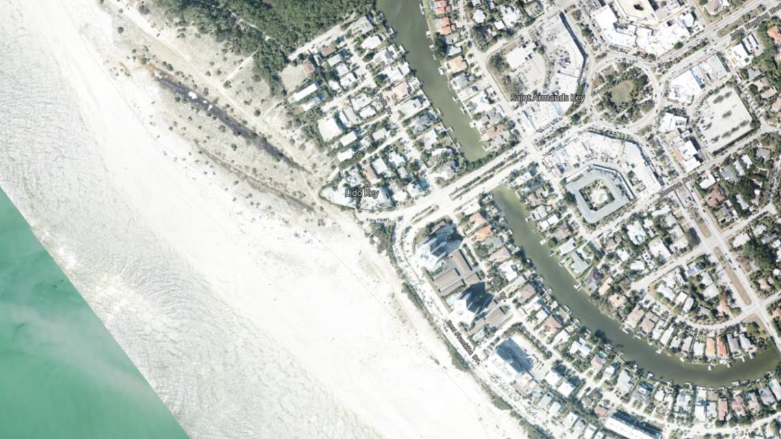
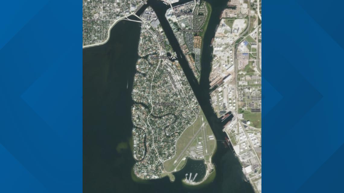
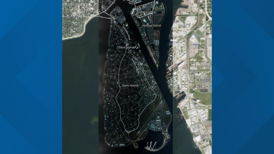
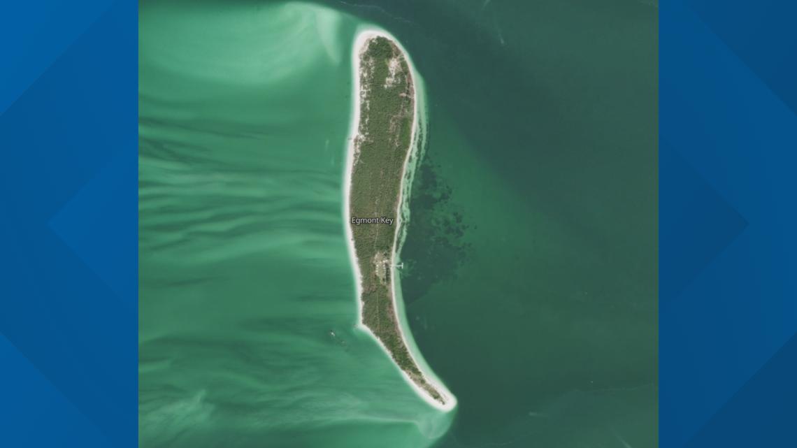
Here are some images of southwest Florida before and after Hurricane Helene swept through.
North Keys
(Before image)


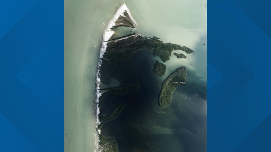
Lido Key
(Before image)


Davis Islands
(Before image)

(After image)

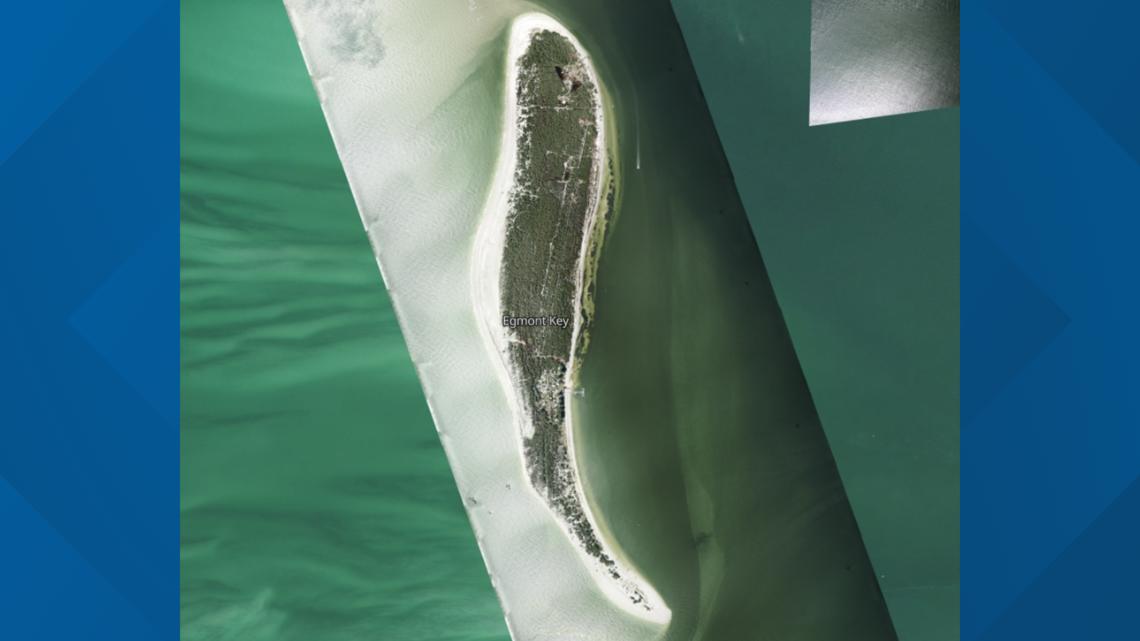
Egmont Key
(Before image)

(After image)

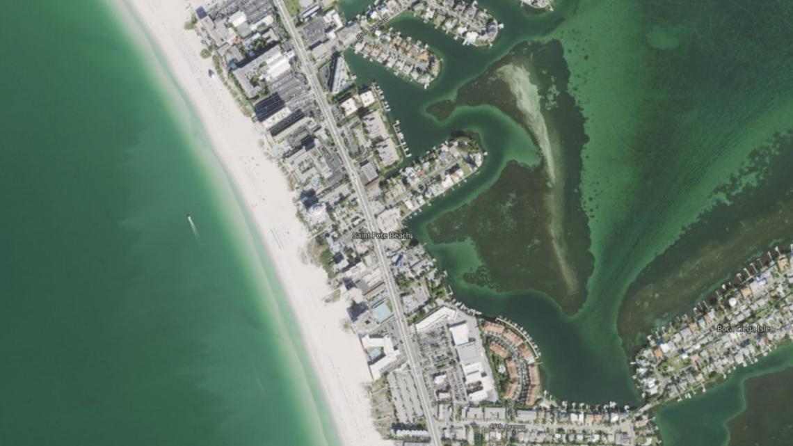
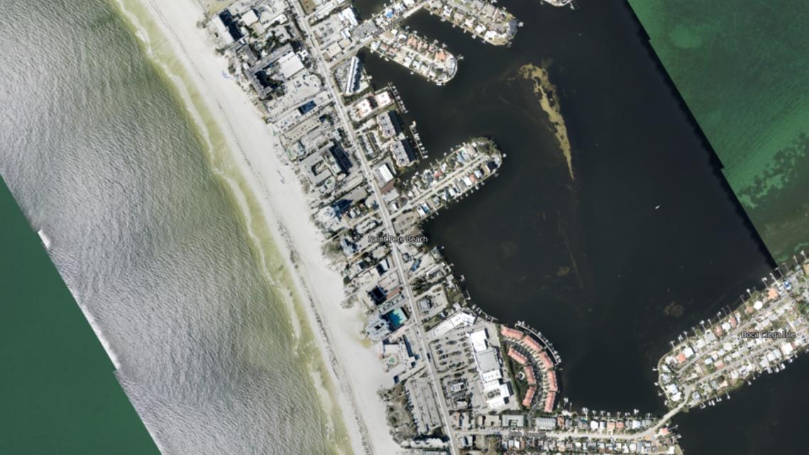
Saint Pete Beach
(Before image)

(After image)

"Aerial imagery is a crucial tool to determine the extent of the damage inflicted by flooding, and to compare baseline coastal areas to assess the damage to major ports and waterways, coastlines, critical infrastructure, and coastal communities," NOAA says on its website.
To check out the mapping tool, click here. You can also click here for tips on how to use the tool.

