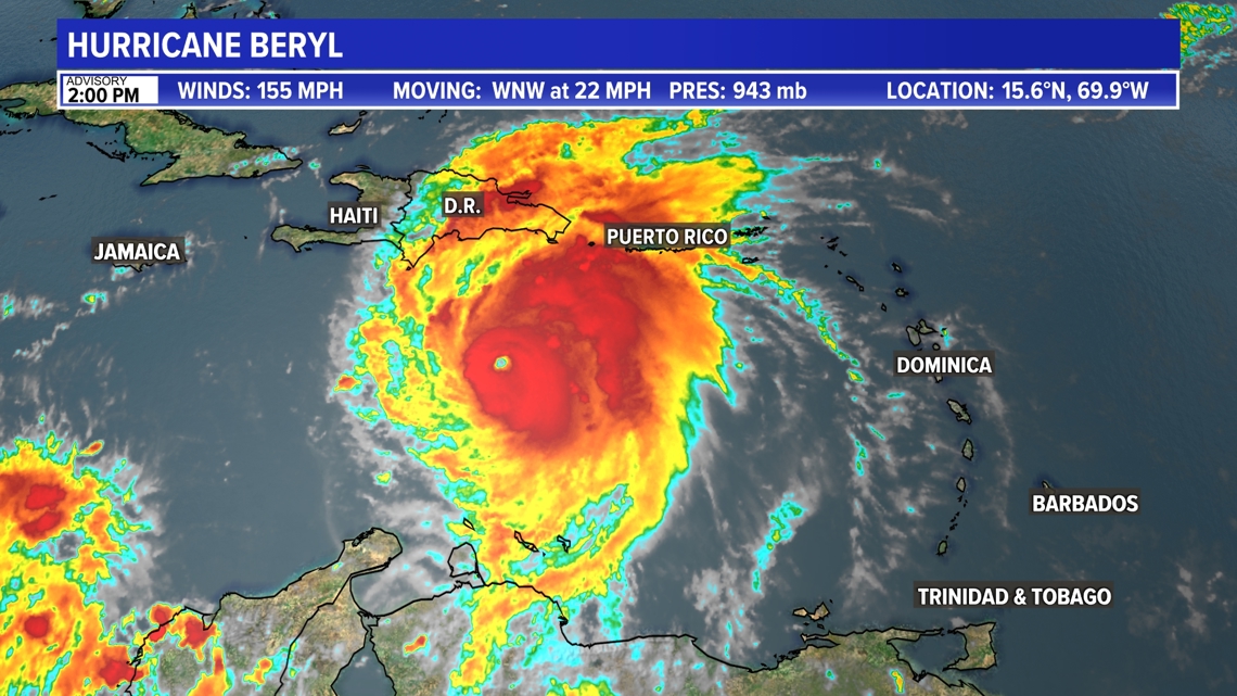
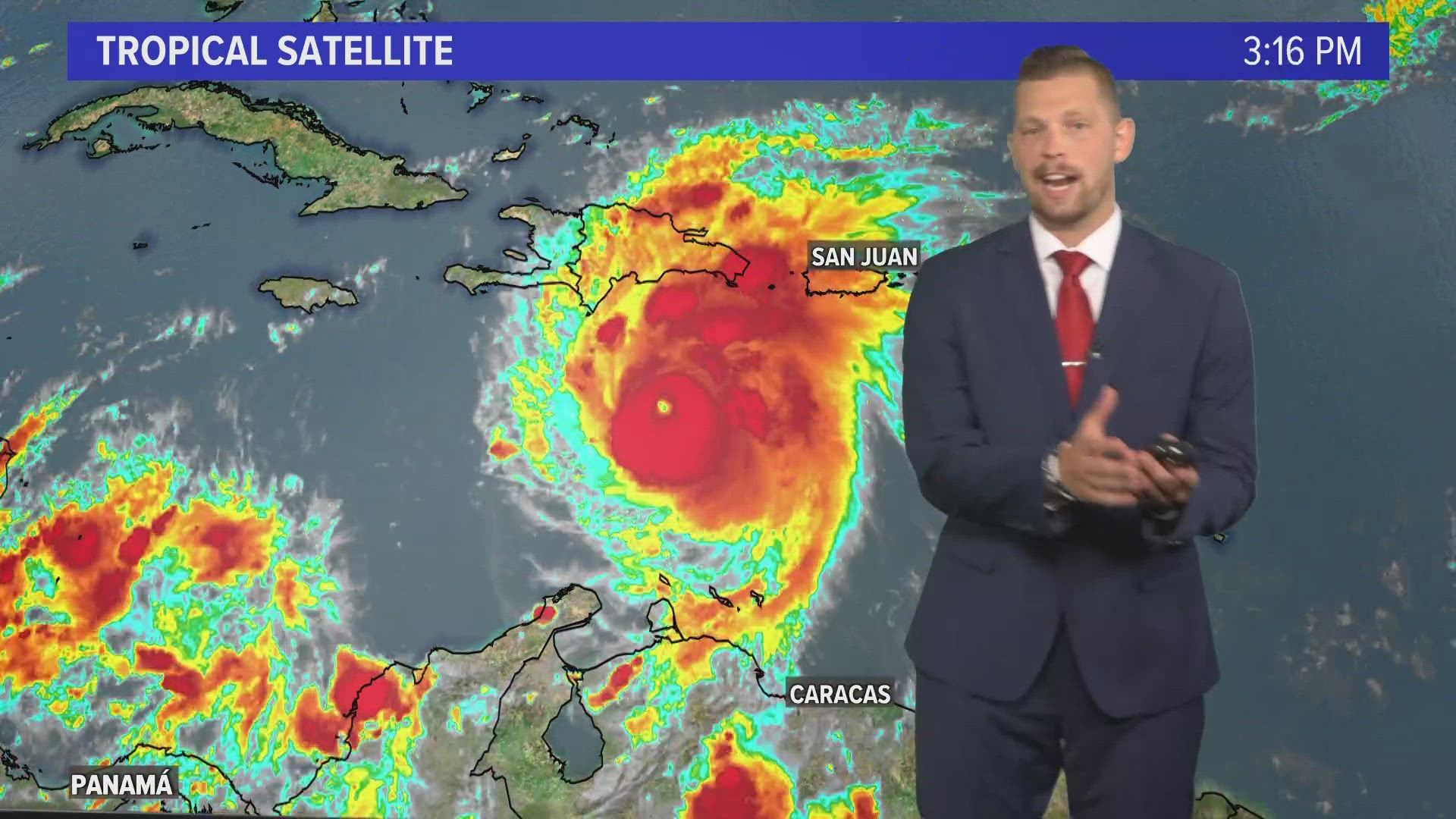
JACKSONVILLE, Fla. — Hurricane Beryl strengthened into a Category 5 hurricane Monday night, making it the earliest Category 5 in the Atlantic ever recorded. It has since weakened to a Category 4 storm.
There won't be any impact at all to Florida, thankfully.
If Beryl impacts the United States, it's most likely to be weakened further to a tropical storm and potentially make landfall in Texas by the end of the weekend.
Editor's note: This was written Tuesday afternoon, July 2. We're keeping the very latest track for Beryl at this link.
Texas could potentially see gusty winds & heavy rainfall from Beryl. That timing is still several days away, so the storm track could shift slightly, but the key is that Florida would still not be impacted.
RELATED: Talkin' Tropics: Beryl heading for Jamaica, system behind it now has low chance of development
Beryl made landfall as an extremely dangerous Category 4 storm on the Caribbean island of Carriacou Monday morning and is currently taking aim at Jamaica.
Beryl's strength topped out at 165mph Tuesday morning. Beryl has weakened slightly to a Cat 4 storm with max winds of 155 mph.
The center of Beryl will move quickly across the southeastern and central Caribbean Sea today but will likely start weakening. It is forecast to pass near Jamaica on Wednesday as a major Cat 3, bringing life-threatening wind and storm surge to the country. It will then pass near the Cayman Islands on Thursday, likely as a Cat 2. It will approach the Yucatan Peninsula in Mexico as a Cat 1 Friday morning. The weakening is thanks to more wind shear inhibiting tropical development in the Caribbean.
A Hurricane Warning is in effect for Jamaica. A Hurricane Watch is in effect for Grand Cayman, Little Cayman and Cayman Brac. A Tropical Storm Warning is in effect for the south coast of Dominican Republic from Punta Palenque westward to the border with Haiti, and the south coast of Haiti from the border with the Dominican Republic to Anse d'Hainault.


