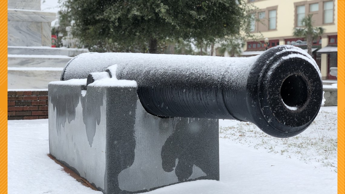
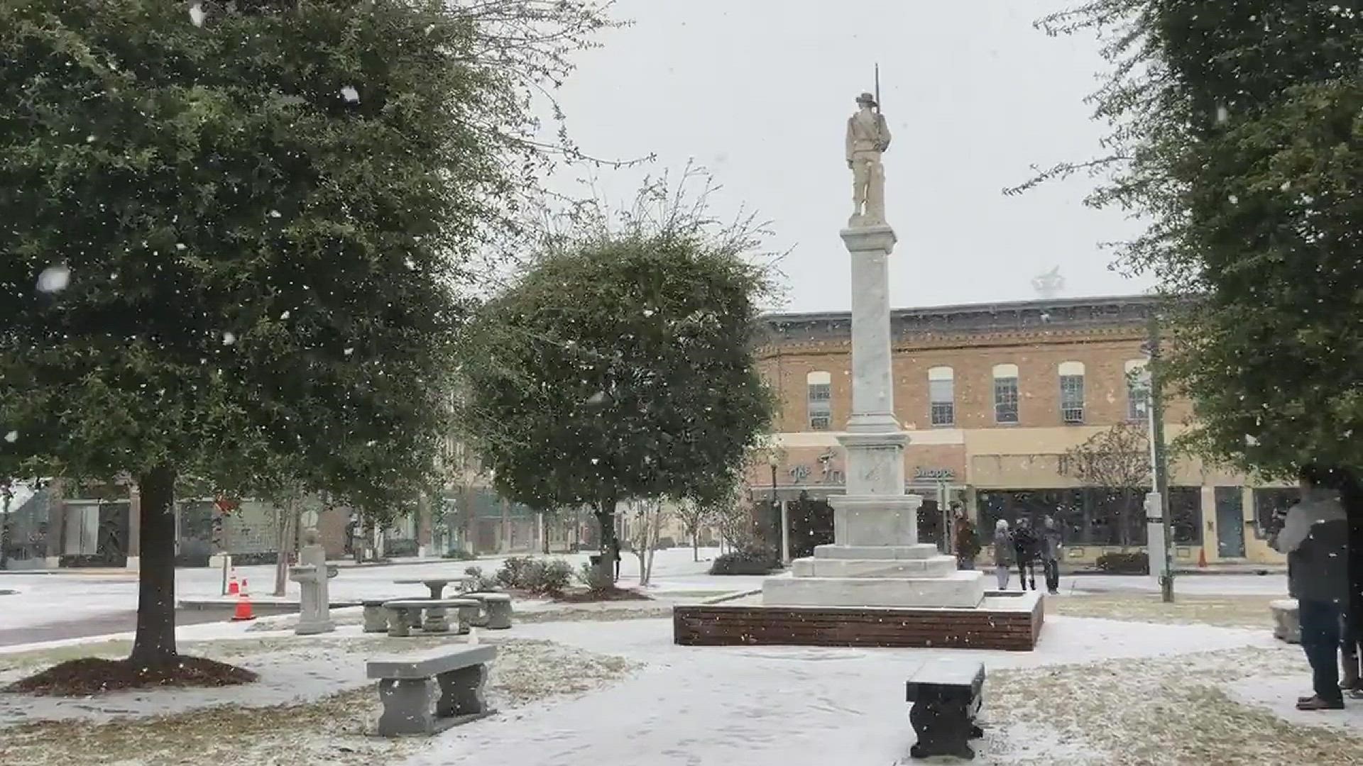
JACKSONVILLE, Fla. — This time four years ago, many folks in our area were waking up to a Winter Wonderland.
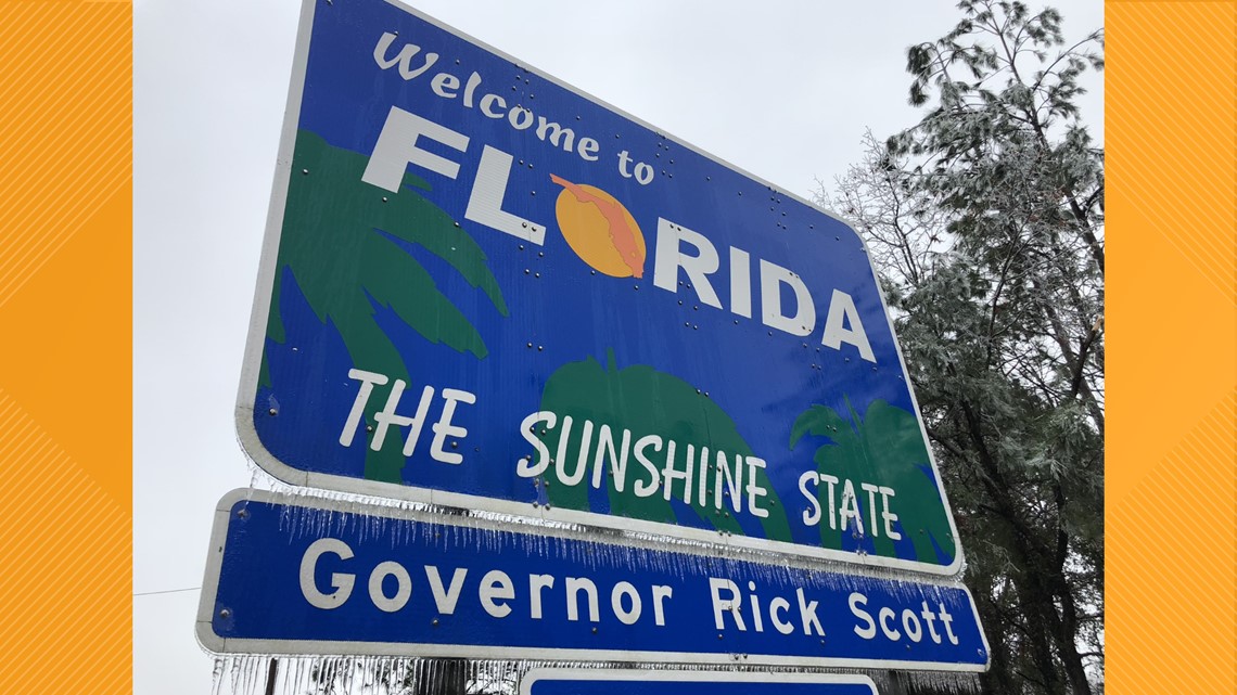
In the early morning hours of January 3, 2018 a rare winter storm rocked the First Coast with some wintry precipitation! The storm produced snow, sleet, and even freezing rain.
Snowfall spread across much of southeast Georgia with snowfall amounts ranging from a trace to just about 4.0 inches.
The Bacon County Airport located in Alma, GA measured 3.0 inches of snow making it the second highest daily snowfall total of all-time since records began for the site in 1948. Ice accumulated from the Suwannee Valley up through the Georgia coastline and extended as far south as Gilchrist and Alachua counties.
Snow flurries were even reported in downtown Jacksonville!
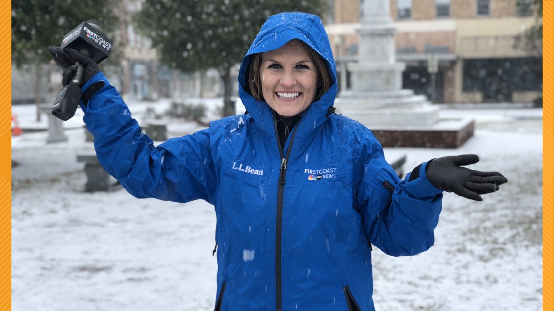
Meteorologist Lauren Rautenkranz was in downtown Waycross, Georgia as the snow coated the sidewalks, the frigid air froze over the fountain, and people flocked from all over to build their own snowmen.



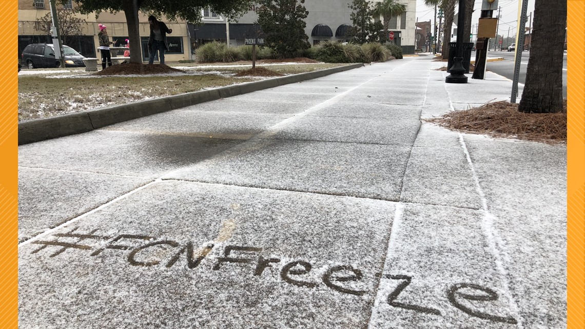
This wintry precipitation and slippery conditions caused widespread power outages, downed trees, and road and school closures.

A strong upper level trough deepened over the eastern U.S. and tracked across the Gulf of Mexico approaching the region from the west. While at the surface, a low pressure system near the northern Bahamas developed and moved north-northeastward along the Florida Atlantic coast. This setup caused moisture to lift northward up the Florida peninsula and overrun the cold arctic air in place at the surface over the area.

The last major winter storm to impact the area before this was on December 22-24, 1989.
The low pressure system off the Florida Atlantic coast went on to rapidly intensify as it interacted with the upper-level trough and the Gulf Stream. As this storm continued its track northeastward along the U.S. East Coast, it brought heavy snow, high winds, high tides, and brutally cold temperatures.

