
JACKSONVILLE, Fla. — Weather forecasters like to use numbers when discussing meteorology. For example, there was three feet of snow, two inches of rainfall, wind of 50 miles per hour. But, sometimes it’s better to show a photo, video or a graphic to get the point across. Climate Central’s Flood Vision program is working on doing just that.
Climate Central is an independent group of scientists who research and report the facts about our changing climate.
Daniel Krueger from Climate Central stated, “Climate Central had a group of images of iconic world that showed future sea level rise levels that went viral, flood vision was born out of that.”
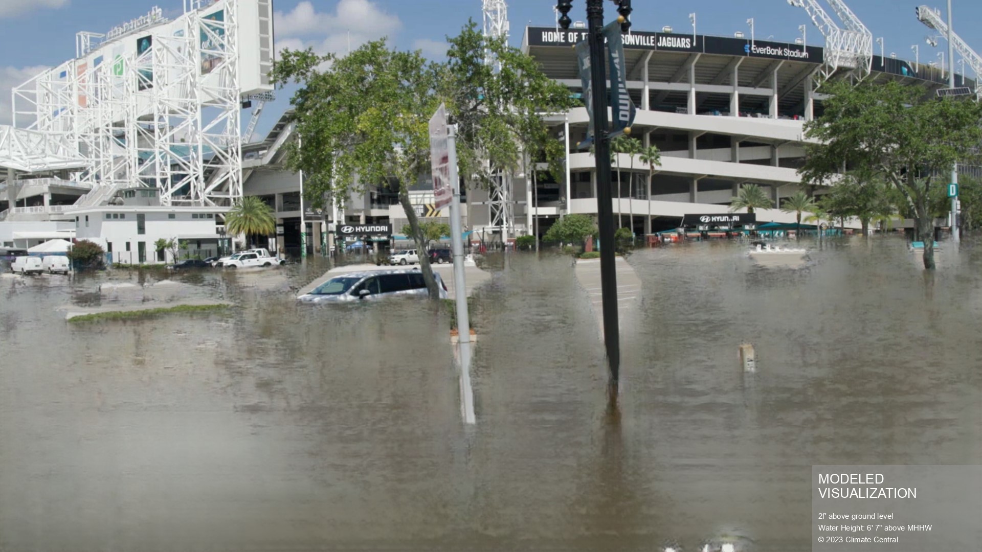
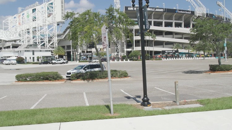
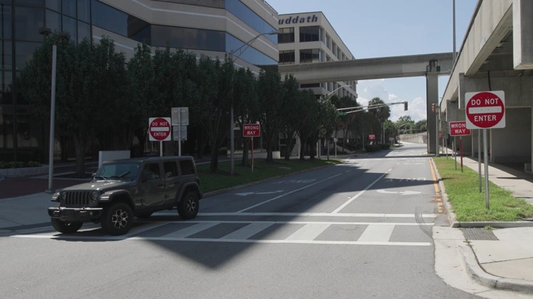
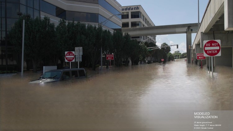
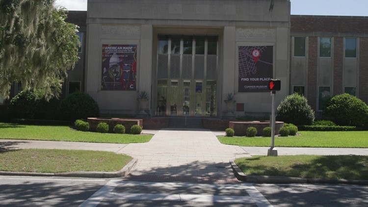
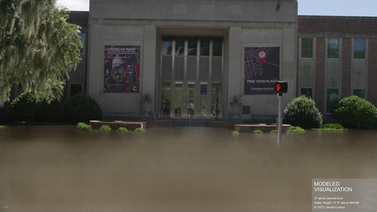
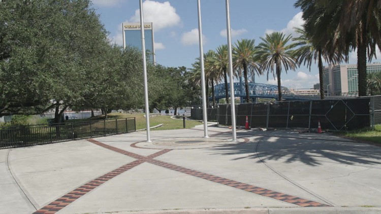
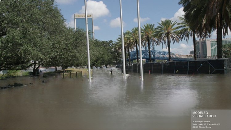
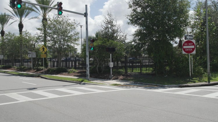
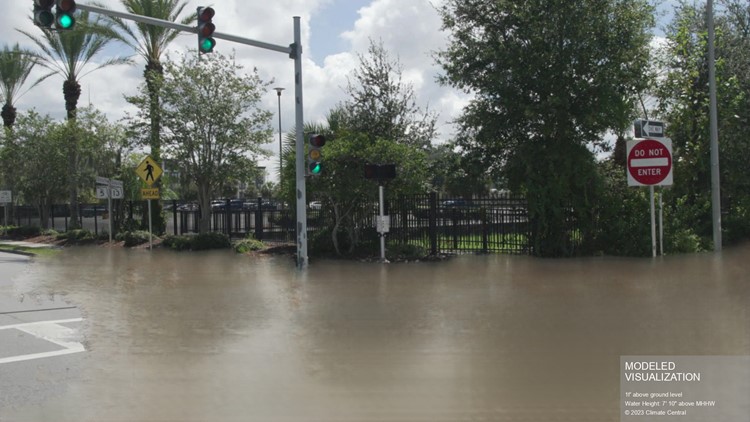
The idea is to show images like the ones below, which were taken in Jacksonville, to help demonstrate what water levels would look like with dramatic water level rises.
For example, one image shows what water levels would look like with six feet and seven inches of water level rise above our normal high tide, which is about two feet above ground level. So, how do we know that these images are accurate?
“We have stereoscopic imagery which is two cameras, we have four cameras total, lidar and a very precise GPS that was all custom coded together," said Krueger. "That’s two facing the drive side and the passenger side, and we record in flood prone areas."
Visualization of flooding in Jacksonville


So, what is the point of this project?
“We want to arm people like yourself [First Coast News] and government officials with information that can help people with sea level rise and also when a hurricane is coming," Krueger said.
Rising sea levels and increased threat of storm surge is why this project is very valuable for forecasters not only here on the First Coast, but also around the country.