Its been a busy year in the weather department on the First Coast, from Heat waves to cold surges to Hurricanes here is a look at some of the big events this year.
June and July Heat Wave
June and July was marked by record breaking heat, not only over 1 or two days but 27 consecutive days of 90 degree plus temperatures. This peaked on June 23rd when the mercury hit 100 degrees for the First time since 2019.
January and December Cold Surge
On the Flip side of things we started off the year with a cold snap down to 22 degrees in January and then wrapped up the year with multiple days of freezing temperatures in December. Christmas ended up being the 3rd coldest Christmas on record with a low of 20 degrees. The Five Consecutive days of freezing temperatures from December 23rd through the the 28th also tied for the 4th longest stretch of below 32 degree temperatures in Jacksonville.
Severe Spring Storms
Severe storms erupted across the First Coast during the Spring, on April 7th and 17th several hail storms hit Jacksonville covering the ground in ice from Fort Caroline to Rivertown. A EF1 Tornado was also reported in Nassau county North of Hilliard.


Hurricane Nicole
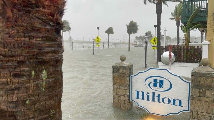
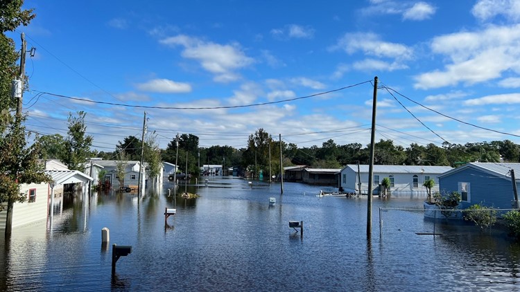
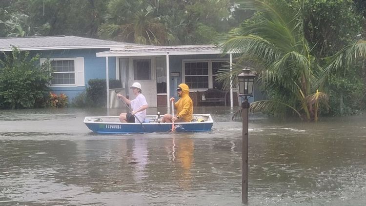
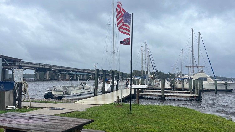
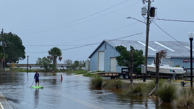
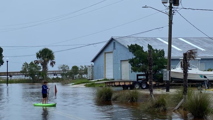
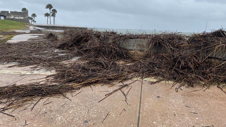
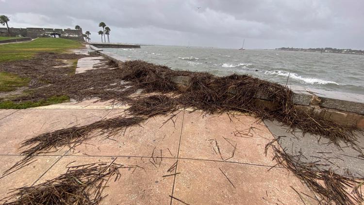
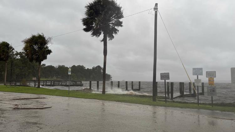
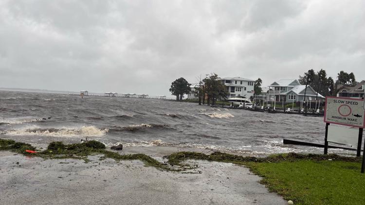
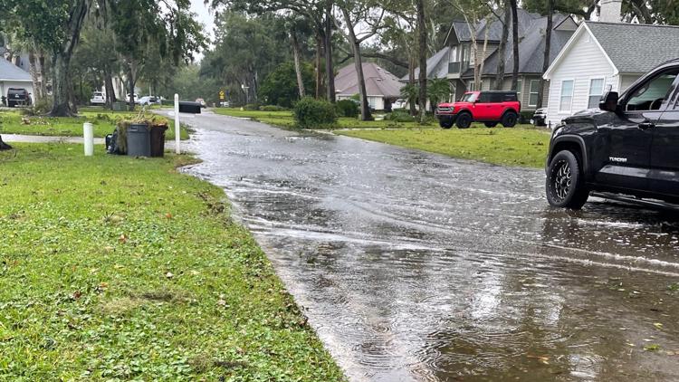
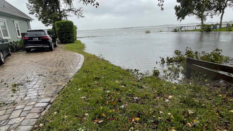
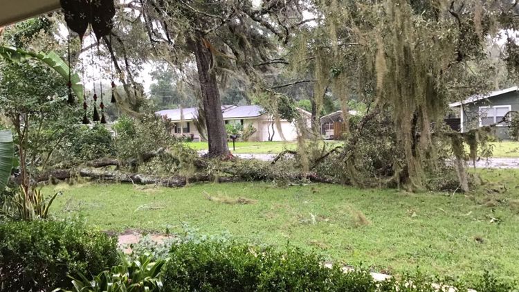
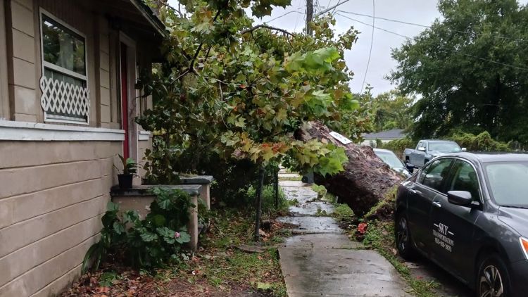
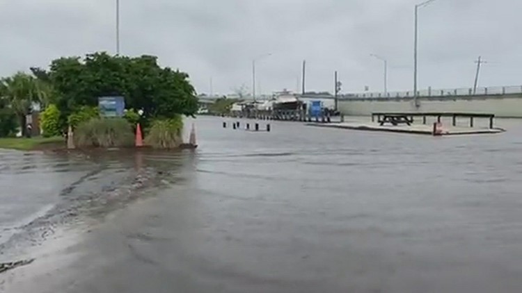
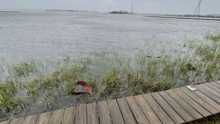
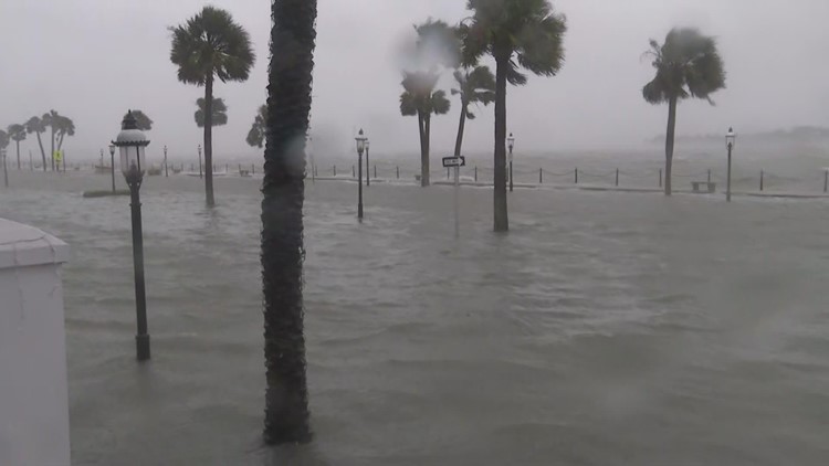
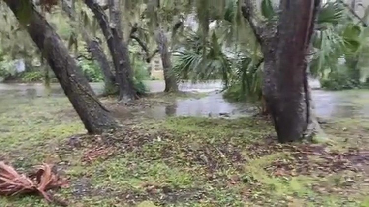
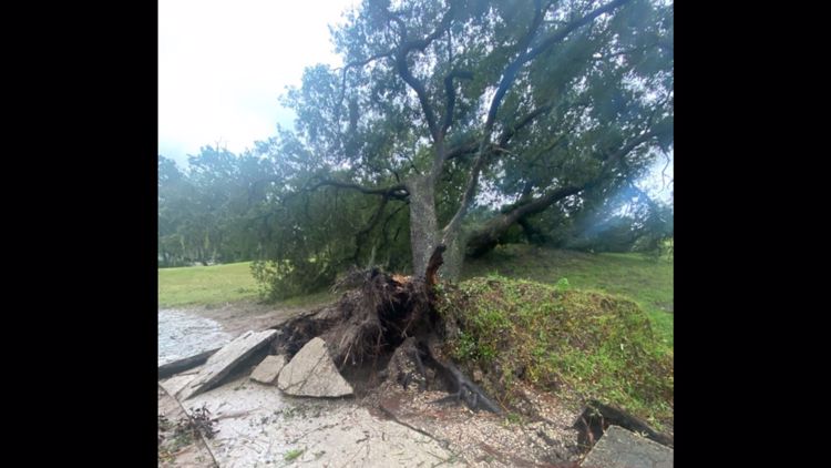
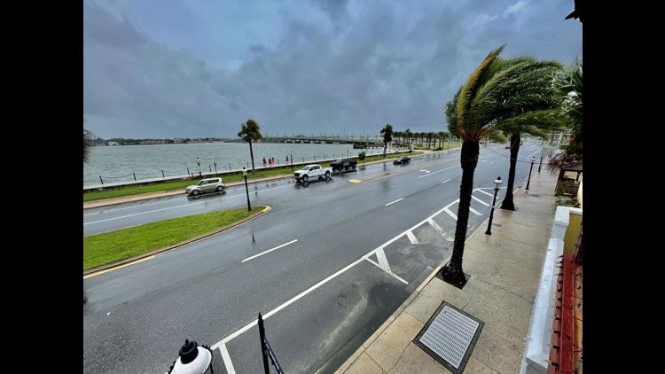
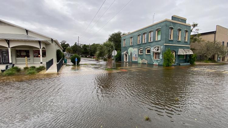
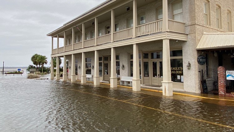
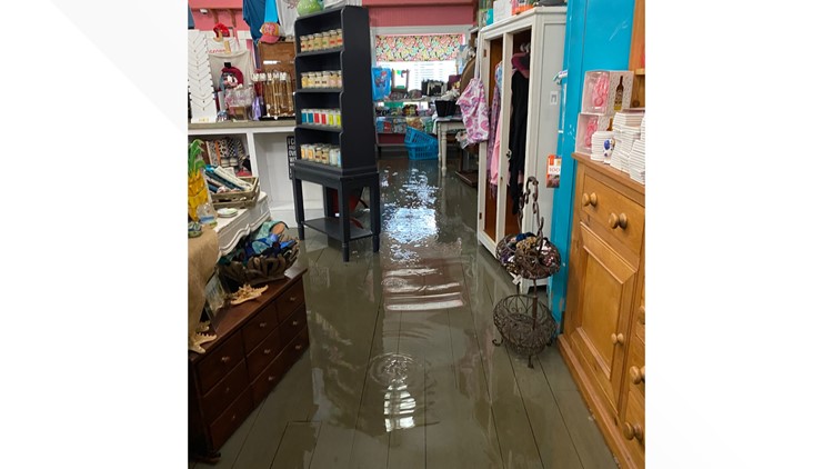
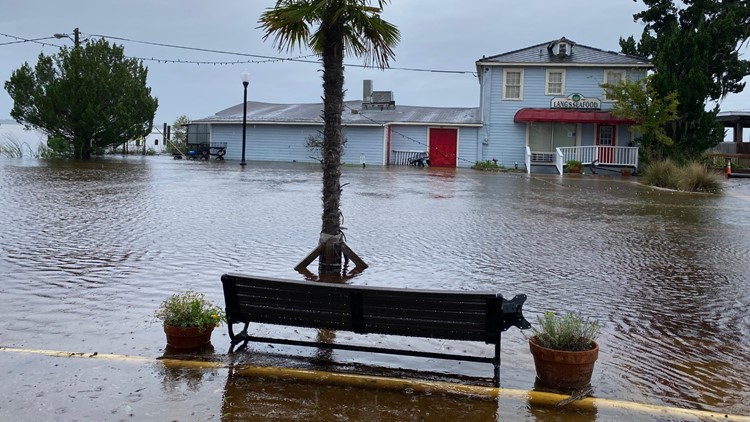
In November Nicole became the latest Hurricane on record to make landfall on the east Coast of Florida. After tracking through the Caribbean the storm made landfall on November 10th in Florida just south of Vero Beach. A long fetch combined with a potent noreaster a head of the storm caused a significant storm surge in Daytona with flooding being seen all up and down coastal areas on the the First Coast with some of the highest water level rises on the St. Johns in Jacksonville since Hurricane Irma.
Hurricane Ian
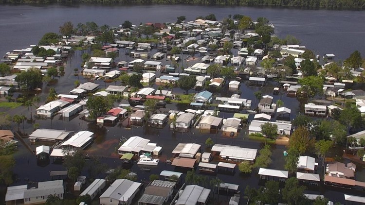
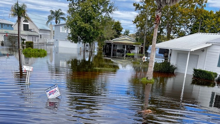
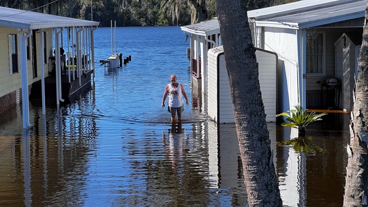
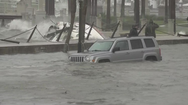
Nicole took place only a month after Hurricane Ian. That storm peaked as a Category 4 storm just off the coast of South West Florida becoming the 5th strongest Hurricane on record to make landfall in the lower 48. This brought devastation to the Fort Myers area before tracking across the state dropping heavy rainfall. In Orlando nearly 23 was reported Onshore winds wrapping around ahead of the storm caused significant coastal flooding in St. Augustine while the heavy rain combined with storm surge backing up the St. Johns river resulted in record level flood levels in Putnam county.


