JACKSONVILLE, Fla. — As Cristobal was making landfall along the southeast coast of Louisiana on Sunday, its tropical tail was impacting the First Coast.
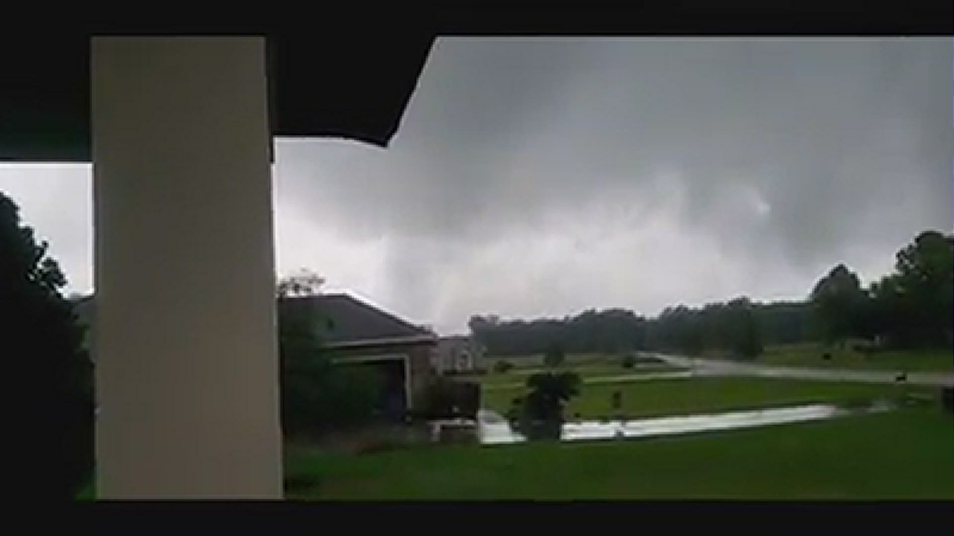
A few of these storms prompted Tornado Warnings from the National Weather Service in Jacksonville. After storm surveys, two tornadoes have been confirmed.
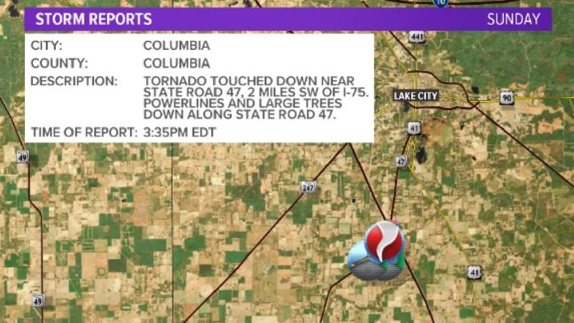
The first tornado touched down at 3:30 p.m. in Columbia County as an EF-0 with 85 mph winds. It touched down just southeast of State Road 47, about 2 miles west-southwest of Interstate 75 in the southern portion of the county.
The tornado moved north-northeastward, snapping trees and damaging a small barn before crossing State Road 47. It reached maximum intensity as it paralleled this road, downing and snapping large oak trees and power lines along it's one half-mile path. It then lifted along southwest Wester Drive.
This lasted all of five minutes.


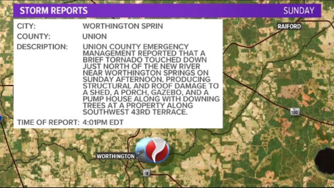
The second tornado was originally reported by Union County Emergency Management on Sunday.
NWS Jacksonville confirms this tornado to have been an EF-0 with 75 mph winds. It touched down just north of the New River near Worthington Springs at 4:01 p.m. The tornado produced structural and roof damage to a shed, a porch, gazebo, and a pump house along with downing trees at a property along Southwest 43rd Terrace.


The EF Scale (Enhanced Fujita) classifies tornadoes into the following categories:
- EF0...WEAK......65 TO 85 MPH
- EF1...WEAK......86 TO 110 MPH
- EF2...STRONG....111 TO 135 MPH
- EF3...STRONG....136 TO 165 MPH
- EF4...VIOLENT...166 TO 200 MPH
- EF5...VIOLENT...>200 MPH

