ST. AUGUSTINE, Fla. — Recent hurricanes and even regular rain storms have shown St. Augustine that water levels are rising. And that means flooding for the old city -- lots of flooding.
New this week – we are seeing what the city’s largest flooding reduction plan looks like.
"Yeah I’m thinking about buying some property here," said John Gotowala, who loves St. Augustine. But, he’s concerned about flooding.
"If you get flooded, forget about it. You have to tear wood out of the house and everything," he said.
"We’ve had lots of flooding in the area," City Resilience Officer Jessica Beach said as she stood on South Street.
The neighborhoods around Lake Maria Sanchez do indeed flood.
Lake Maria Sanchez is on the southern edge of downtown St. Augustine. It’s connected to a marsh, and when these two bodies of water flood, downtown and neighborhoods such as Lincolnville flood as well.
"It’s a big project. This is the city’s largest flood mitigation project," Beach said as she flipped through papers of the plan that has Lake Maria Sanchez in the center of it.
The project is expected to reduce flooding in a 200-acre area of downtown.
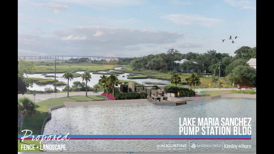
Part of the plan calls for replacing an old weir or dam on the lake with a pump "that will help us better manage the water when it rains," Beach explained. "We can get that water out to help with flooding downtown."
Story continues below.


That pump will push excess water into the nearby marsh. But what will keep all that water in the marsh, instead of flooding homes and roads? The answer is a flood wall.
The flood wall that will stand about 7 feet above sea level is planned to encircle the eastern, western and northern sides of the marsh. The southern side of the marsh flows into the Intracoastal Waterway.
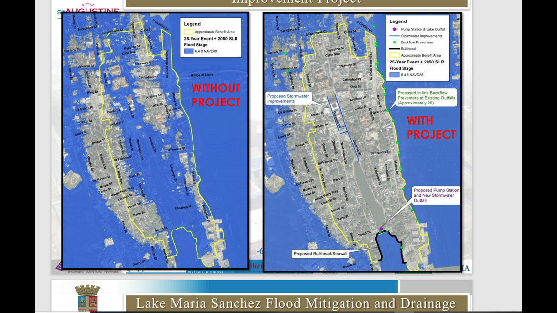
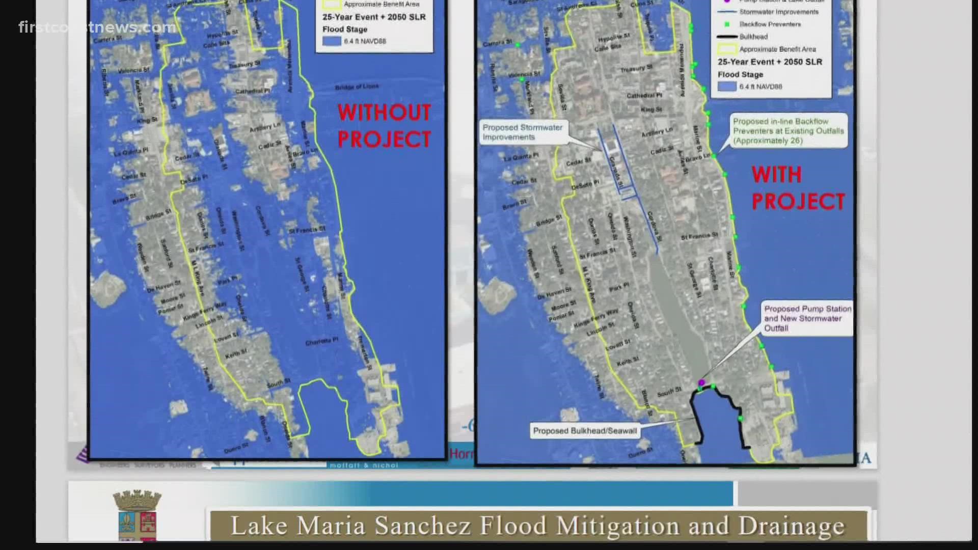
Beach shared a striking image of two maps of the area, each one showing projections of how much water would cover the area in 2050 with a sea level rise and a storm like Irma. The map (pictured on the left below) factoring in conditions without the project in place shows water flooding much of the area. The map showing the area if the project was built shows much less of the area underwater.
Story continues below.


"There are limitations to the design, but we’re going to protect (the area from) all of the flooding like we had in Hurricane Dorian, as well as in last September's flooding, with a high tide nor'easter," Beach said. "And even with a lower level hurricane like Matthew or Irma, it will help."
It sounds good to Gotowala, who likes St. Augustine and wants it to be above water.
If federal grant money comes in to help pay for the $30 million project, construction could start in 2023.

