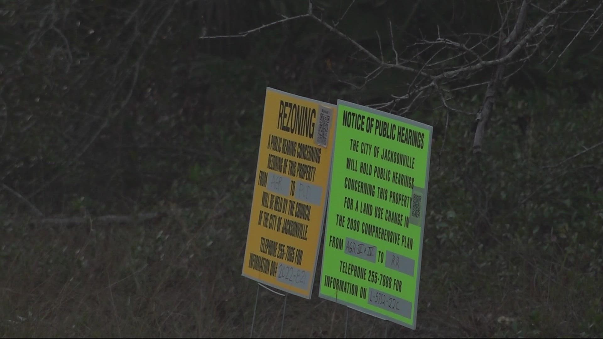
JACKSONVILLE, Fla. — Jimmy Wood has lived on Black Hammock Island for 50 years and says forest burns and flooding are common.
"My wife and I have had to stand out [in his yard] for three days at one point and throw feed sacks onto our house to keep it from burning."
Wood is well prepared with plenty of trees and land between him and danger, which he says isn't the case for a proposed new development.
"That would be like putting a roach on a birthday cake that roach will eventually ruin the whole cake just as what they're trying to do ruin this whole area." Wood said.
A nearly 49-acre development with close to 90 homes, 10 feet apart is planned off Cedar Point Road near Pumpkin Hill Creek Preserve State Park. It's an area with several connected nature preserves.
"There's nothing good for Jacksonville or the Seven Creeks Recreation Park if you approve this 96-home development." a resident said during public comment at Tuesday night's city council meeting.
Close to 50 residents spoke against the development at Tuesday night's meeting.
"We're putting people in an area we know flooding is existing and going to happen and this is right in the middle of where the resiliency is." District 2 City Councilmember, Al Ferraro, said.
"It's a postage stamp, it's 48 acres surrounded by a 5,600 acre preserve and I think it's properly constructed and developed." District 6 City Councilmember, Michael Boylan, said.
City council narrowly voted to approve the land-use portion of the development but differed on the zoning portion allowing residents the chance to negotiate with the seller.
Residents say they are hoping for a larger lot size and more rooms in between homes.
"With only 10 feet between the houses and no buffer there's no pastureland there's nothing else to burn except for your house that entire development is going to burn." neighbor, Danielle D'Amato, said.
D'Amato is a biologist for the government and says residents are frustrated with city council's decision.
A similar development in the area was unanimously denied by city council in 2020.
City attorney Mary Staffopoulos acknowledged the developments are the same in the city's land use & zoning committee meeting on January 18th.
Paul Harden, who is representing the seller, said while they are the same size the two applications are not the same.
In the land use & zoning meeting, Harden, who did not represent the seller in 2020, said the current plan identifies nearby wetlands and the development doesn't intrude on them.
overlay is to protect the area from overdevelopment by limiting housing density to one dwelling unit per one net acre of land. However, the ‘amendment site is specifically not included in the overlay and therefore not subject to the density limitation.
In 2021, city council created a zoning overlay on land around Cedar Point and Sawpit Road to help maintain the area's natural beauty.
The overlay was created to protect the area from overdevelopment by limiting development to one home per acre of land. However, the development is not included in the overlay after being challenged by the property owner.
D'Amato acknowledged the developments small size but says it would leave a massive footprint.
"If you build in an area that's a resiliency area the water doesn't realize that there's not houses the closest and easiest way for it to go is downtown you have seen firsthand the floods that are happening in downtown Jacksonville were not happening 10-15 years ago and that's because we're not being smart with our development." D'Amato said.
First Coast News has reached out to Harden to see if the seller has contacted residents and is willing to negotiate but has not heard back at this time.

