JACKSONVILLE, Fla. — Mayor Lenny Curry appeared on the Weather Channel Tuesday to discuss Jacksonville's ongoing urban heat mapping survey.
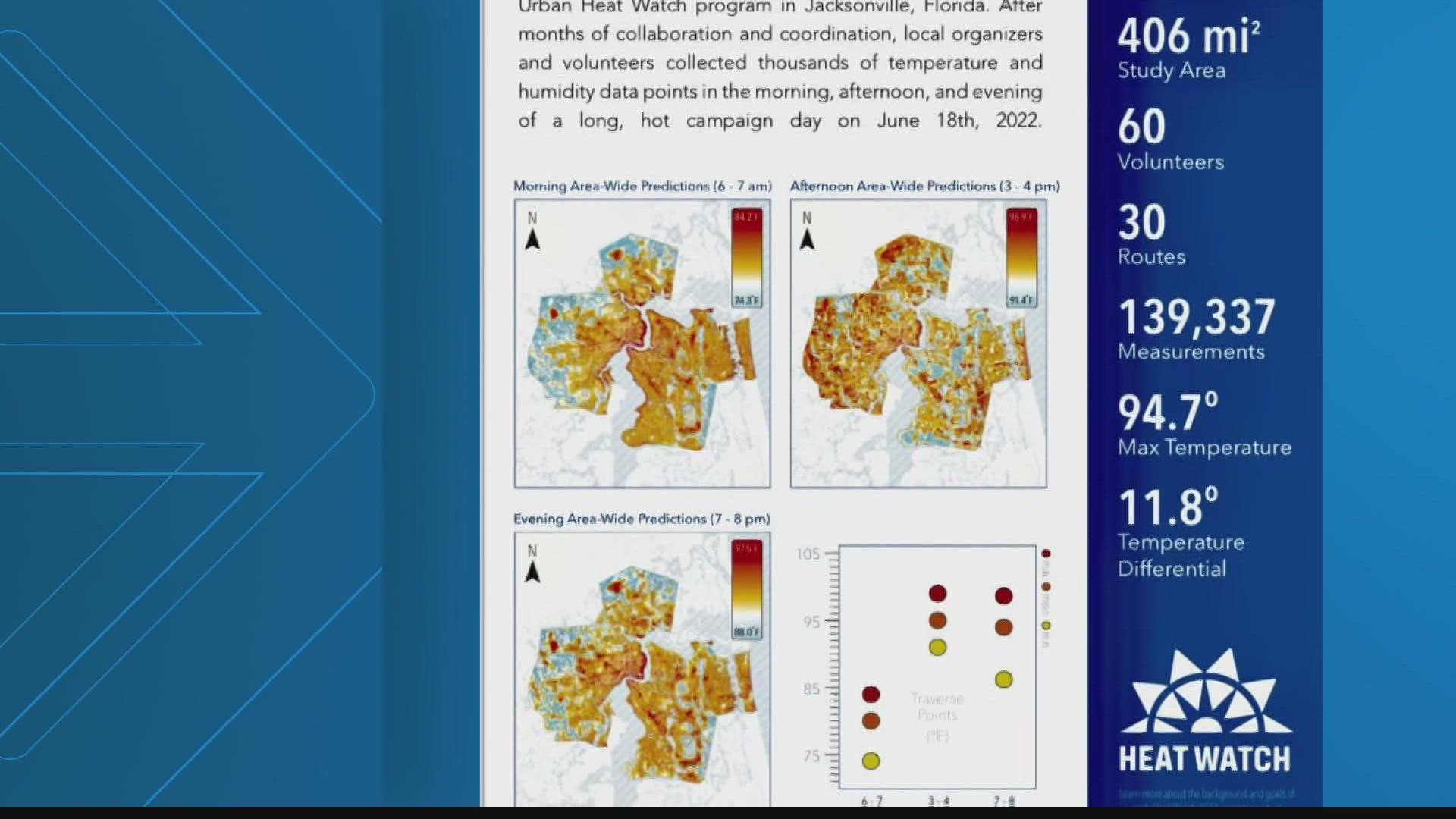
The survey is a joint project from University of North Florida, National Oceanic and Atmospheric Administration, and the City of Jacksonville that is the largest urban heat mapping survey ever conducted in the US.
More than 60 people have taken part, driving 30 routes around Jacksonville with instruments on their car window measuring air temperature and humidity.
The intent of the study is to find out which part of the city gets the hottest, putting people at more risk for illness and death during extreme heat events.
Mayor Curry said, "The results showed that the temperature in Jacksonville can fluctuate significantly depending on where you are. According to the study, this temperature difference can be upwards of 12 degrees, which can significantly amplify the risks associate with heat during the summer."
Curry continued, "The data generated will be used to inform projects and policies in our resilience strategy. This study provides the city of Jacksonville with valuable information that will help the city make decisions to improve quality of life for our residents."
“Heat is kind of a silent killer and it’s actually the weather phenomenon that is responsible for the most deaths," Adam Rosenblatt, Assistant Professor of Biology at University of North Florida said.
By finding the hottest spots, they can help city leaders take action which could look like planting trees in certain areas, changing building codes, and using different building materials to help cool the city off.
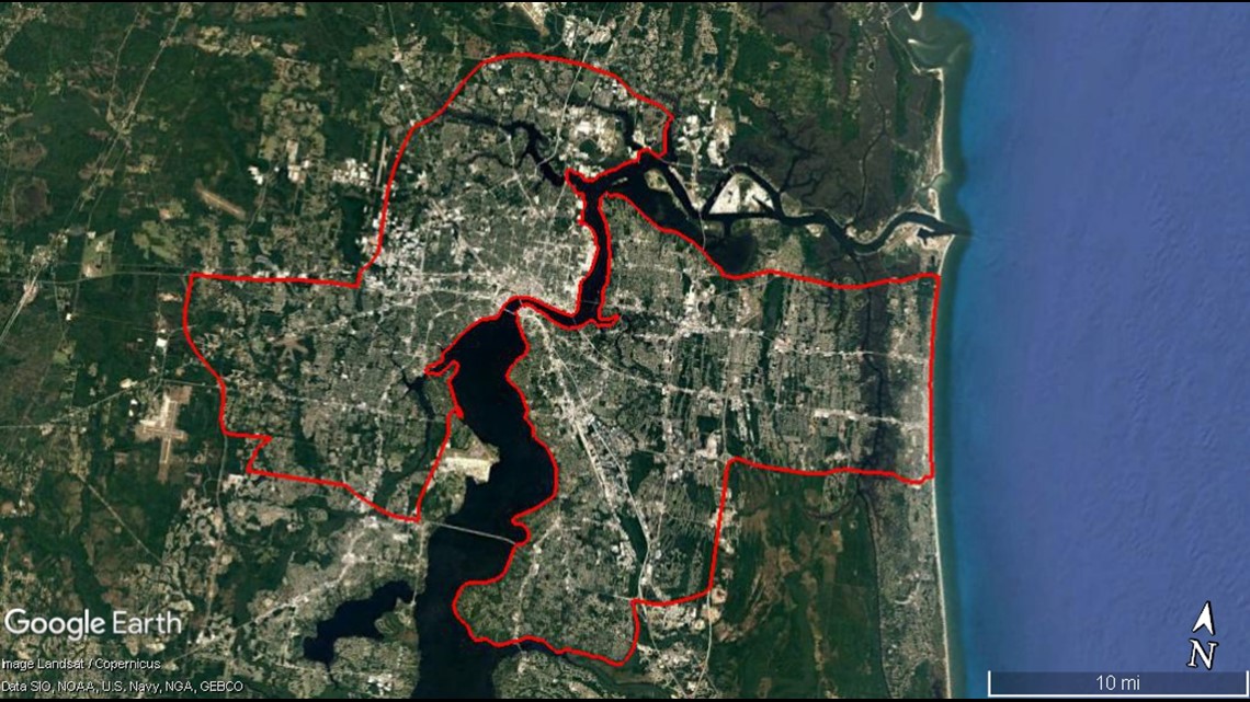
Area of the Jacksonville survey:


