
JACKSONVILLE, Fla. — Hurricane season officially begins on June 1, but a major storm could strike at any point in the year. Even though there are no storms on the horizon, now is the time to know your zone and build your emergency kits if you haven't done that already.
The St. Johns River can rise by several feet in a hurricane and that could cause significant damage for thousands of people, but there are a number of offshoot rivers of the St. Johns where high water can also lead to disaster for people living in low-lying areas.
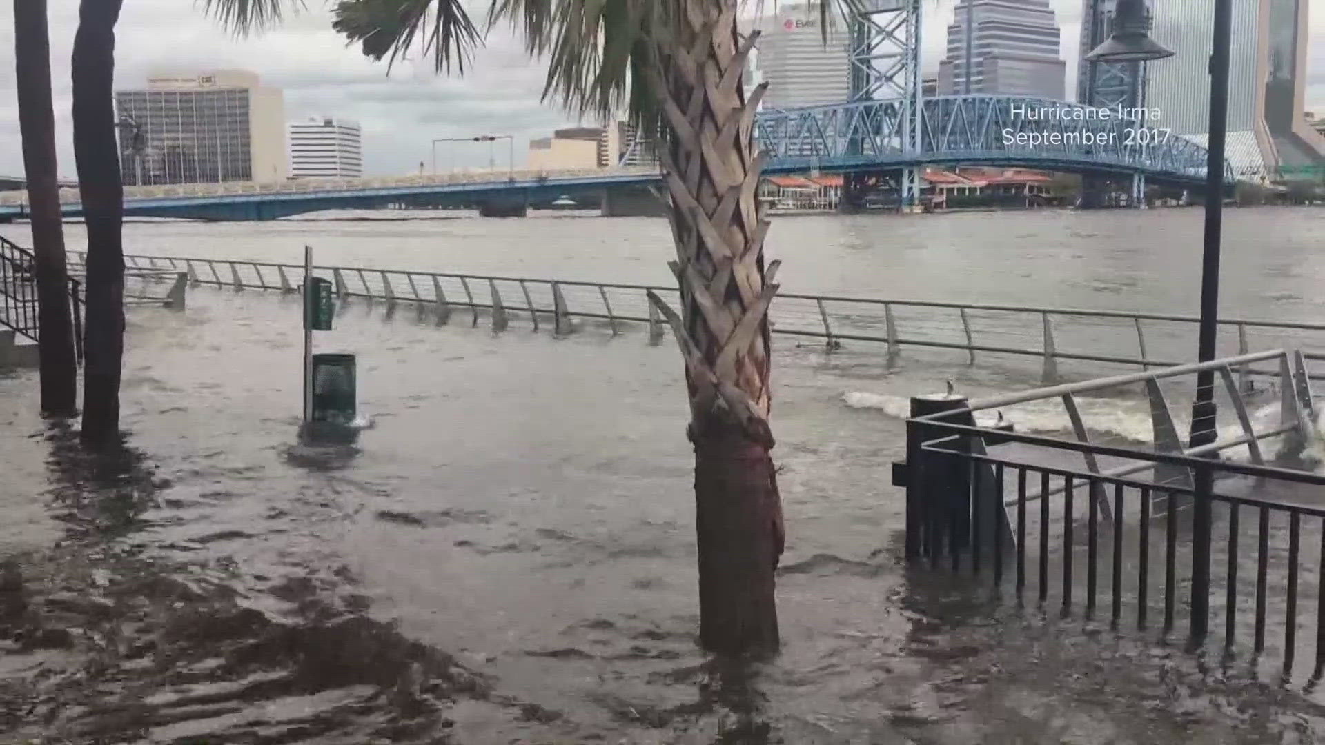
Some of the worst flooding Jacksonville sustained from a hurricane in recent memory came from Hurricane Irma in 2017. While streets in Downtown Jacksonville were underwater, water also rushed into homes along Ken Knight Drive on the city's Northwest Side.
"It's flooded, it comes up through the back and it gets pretty high, halfway or midway up the side of the house," said Deandre Simpson, who has lived on Ken Knight Drive for four years and live through hurricanes there." Sometimes even further if the rain is heavy.
Ken Knight Drive is in evacuation zone A, and Simpson said he would leave his home if he truly felt he had to.
"I have evacuated before, they came last season and took my family to a hotel, but I stayed and sat through the storm," said Simpson, "didn't want to leave home."
Elsewhere on Ken Knight Drive there are signs of preparedness, as some roofs are being repaired. Jacksonville's Director of Emergency Preparedness said now is the time to act.
"Please prepare now, don't wait until the storm is in the gulf or the Atlantic to start preparing," said Andre Ayoub, the city of Jacksonville's Emergency Preparedness Division Director.
Simpson said he and his neighbors who stay through storms often have a plan in place when they know they're going to stay.
"Sandbags, trimming trees back and stuff like that, you can see other people did hurricane cuts and stuff around here," said Simpson.
The City of Jacksonville has an interactive map to let you figure out which evacuation zone you may be in; all you have to do is type in your address and the map will tell you in your home is low-lying as well as the corresponding evacuation zone. A link to that map is here.