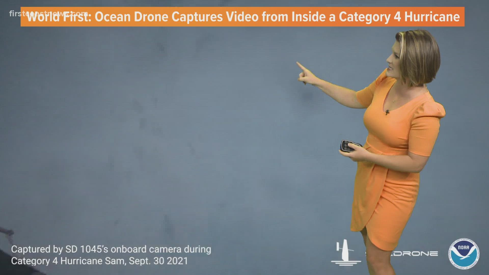
JACKSONVILLE, Fla. — We're getting a never-before-seen look inside of a major hurricane out at sea. On Sept. 30, Saildrone Inc. and NOAA released the first footage from SD 1045 sailing through major Hurricane Sam barreling across the Atlantic Ocean.
The organizations have partnered to collect data and capture video gathered by five unmanned surface vehicles. These USVs are called saildrones and are powered by wind and solar energy. Two were deployed from Jacksonville earlier this year. The other three were deployed from St. Thomas in the U.S. Virgin Islands.
Saildrone Explorer SD 1045 was directed into the midst of Hurricane Sam, which will, fortunately, remain out over the open ocean and east of Bermuda. Nonetheless, the ocean drone captured some incredible images as it battled 50-foot waves and winds greater than 120 mph. Not only is this device able to give us a completely new perspective of one of the planet's most powerful storms, but it is also collecting scientific data in the process.
Saildrones are equipped with a specially designed “hurricane wing” enabling it to operate in extreme wind conditions. While SD 1045 is braving Hurricane Sam, it's collecting real-time observations for numerical hurricane prediction models. This data is expected to yield new insights into how large and destructive tropical cyclones grow and intensify.
In order to improve storm forecasting, this knowledge is critical and is expected to eventually allow for better preparedness in coastal communities.
“Saildrone is going where no research vessel has ever ventured, sailing right into the eye of the hurricane, gathering data that will transform our understanding of these powerful storms,” said Richard Jenkins, Saildrone founder and CEO. “After conquering the Arctic and the Southern Ocean, hurricanes were the last frontier for Saildrone survivability. We are proud to have engineered a vehicle capable of operating in the most extreme weather conditions on earth.”
The saildrones provide data directly to NOAA’s Pacific Marine Environmental Laboratory (PMEL) and Atlantic Oceanographic and Meteorological Laboratory (AOML), Saildrone’s partners in this mission.
“Using data collected by saildrones, we expect to improve forecast models that predict rapid intensification of hurricanes,” said Greg Foltz, a NOAA scientist. “Rapid intensification, when hurricane winds strengthen in a matter of hours, is a serious threat to coastal communities. New data from saildrones and other uncrewed systems that NOAA is using will help us better predict the forces that drive hurricanes and be able to warn communities earlier.”
About Saildrone
Saildrone is a US small business that designs, manufactures, and operates a fleet of the world’s most capable, proven, and trusted, uncrewed surface vehicles (USVs). Predominantly powered by wind and solar, Saildrone USVs have a minimal carbon footprint and are equipped with advanced sensors and ML technology to deliver critical data and intelligence from any ocean, at any time of year. Solutions include maritime domain awareness, ocean data, and ocean mapping. Saildrone operations and data collection services are encrypted and secure.
About NOAA
Climate, weather, and water affect all life on our ocean planet. NOAA’s mission is to understand and predict our changing environment, from the deep sea to outer space, and to manage and conserve America’s coastal and marine resources. See how NOAA science, services, and stewardship benefit your community: Visit noaa.gov for our latest news and features, and join us on social media.

