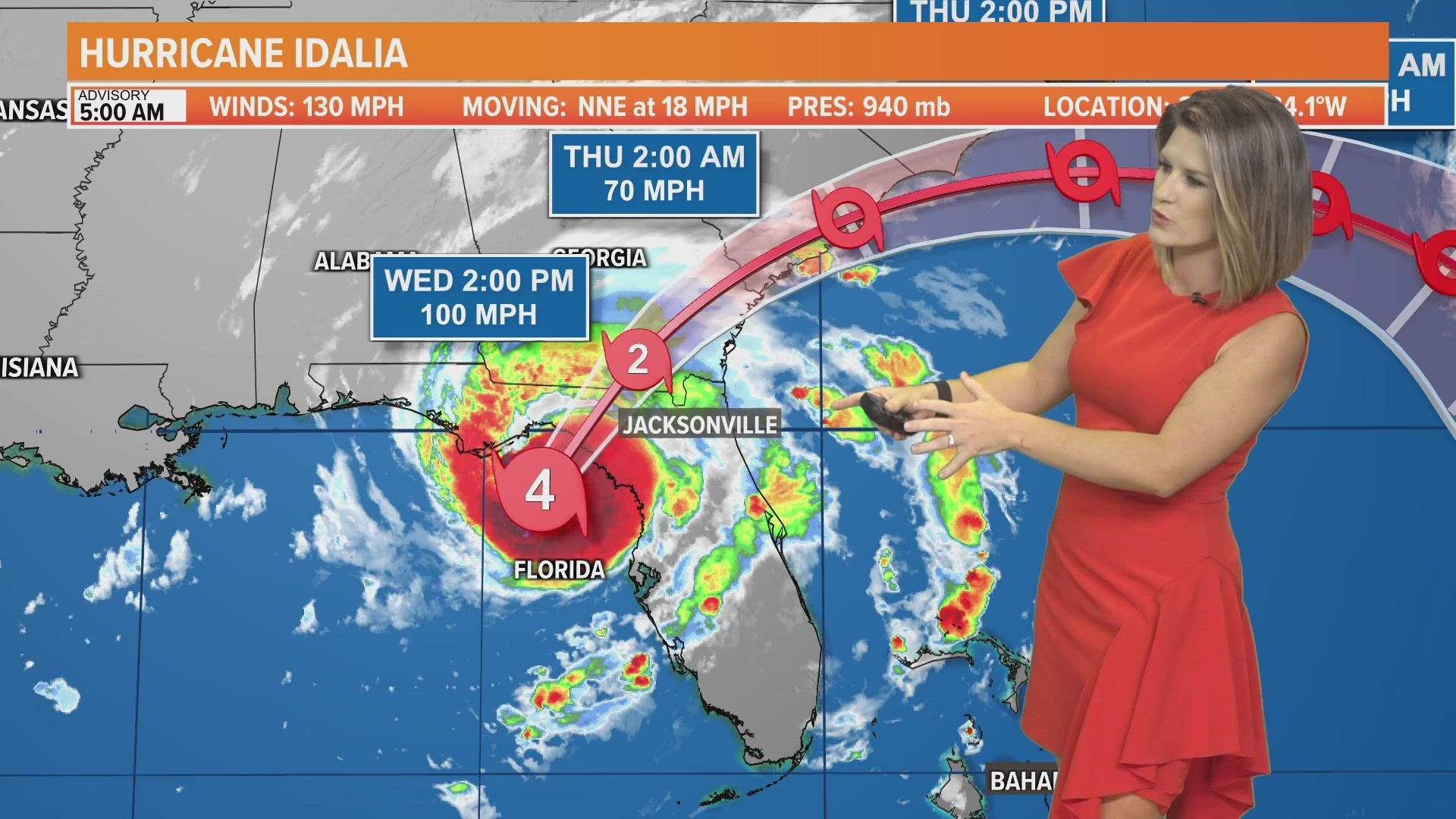
JACKSONVILLE, Fla. — Update: Effective 8 a.m. on Tuesday, Nassau County has issued an evacuation order for residents who are power-dependent special needs individuals and live in flood-prone structures, vulnerable structures and mobile homes. Baker County has issued a voluntary evacuation order Tuesday morning. Effective 5 p.m. on Tuesday, St. Johns County issuing a mandatory evacuation order for low-lying, flood-prone areas or on a boat, mobile home, recreational vehicle, camper, or similar conveyance.
Camden County is ordering an evacuation for Zone A, which includes Cumberland Island and Little Cumberland Island.
Before a tropical storm or hurricane makes landfall, you'll want to review your supplies and other factors to make sure you're prepared.
What is my evacuation zone?
The Florida Division of Emergency Management's Disaster Preparedness Maps is a great site to bookmark. It breaks down evacuation zones, evacuation routes as well as provide storm surge maps.
Click here to view your evacuation zone. You can find out what zone you are in by entering your address/zip code in the top left side of the screen.
Evacuation zones are broken down into zones A to E. Zone A is likely to be evacuated first, whereas Zone E is likely to be evacuated last.
Be sure to keep up-to-date with any news conferences that the mayor or governor will have as a hurricane approaches. During these updates, the mayor or governor will tell which zone should evacuate.
- READ MORE >> Clay County emergency & evacuation information
- READ MORE >> Duval County emergency & evacuation information
- READ MORE >> Flagler County emergency & evacuation information
- READ MORE >> Nassau County emergency & evacuation information
- READ MORE >> Putnam County emergency & evacuation information
- READ MORE >> St. Johns County evacuation and emergency information
You should also know where shelters are in case you need to leave your home. These won't be announced until areas will have to evacuate, so be sure to keep checking firstcoastnews.com and the First Coast News app for updates.

