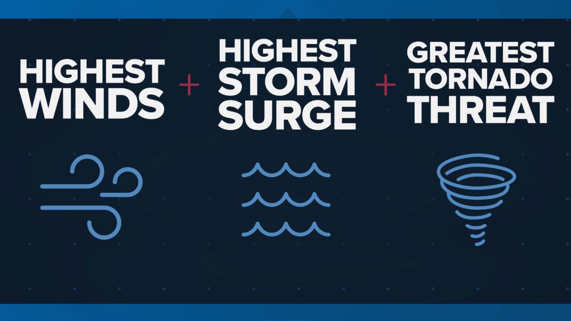
JACKSONVILLE, Fla. — The "dirty side" of a storm refers to the area of a hurricane or tropical system where you'll find the highest winds, highest storm surge, and the greatest tornado threat.
So, what side of the storm is that?
Generally, it's the northeast side of the storm or more simply put the "right side" of the storm, but it also depends on which direction the storm is moving.
If it's traveling in a northern direction, the dirty side will be more on the direct right-hand or eastern side. If the storm is traveling in a more western direction, the dirty side will be more on top of it.
What makes it so "dirty?"
It's all about the wind direction and a little math.
The National Oceanic and Atmospheric Administration explains that the winds spiral counterclockwise around the storm’s center in addition to its forward movement. So as the storm moves forward, the winds are moving in the same direction and therefore their speeds are accelerated.
For example, if a storm is moving north at 30 mph and has wind speeds of 100 mph, then the storm will produce winds of 130 mph on the right, dirty side. On the left side, winds move in the opposite direction of the storm's movement, so they'll be slower around 70 mph.
It's important to remember though as a storm grows stronger, every side becomes dangerous.
Hurricane safety and preparedness are critically important even before the season begins on June 1. NOAA’s National Weather Service provides resources to prepare for hurricane hazards and real-time updates about active weather systems from the National Hurricane Center at www.hurricanes.gov.
The Atlantic hurricane season officially runs from June 1 to November 30.
Download the First Coast News app and sign up for severe weather alerts

